
Système de zones humides Ilene et Presterødkilen, محمية طبيعية في النرويج
Location: Tønsberg Municipality
GPS coordinates: 59.27300,10.39730
Latest update: August 1, 2025 23:05
Tønsberg Fortress
386 m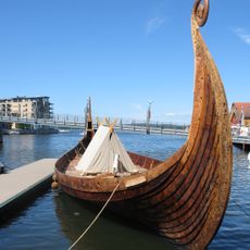
Saga Oseberg
1.1 km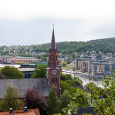
Tønsberg Cathedral
593 m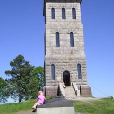
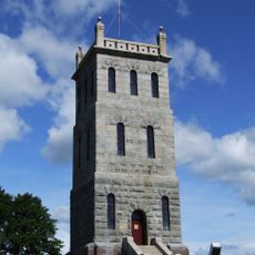
Slottsfjellstårnet
301 m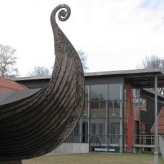
Slottsfjellsmuseet
496 m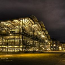
Tønsberg og Færder bibliotek
1.1 km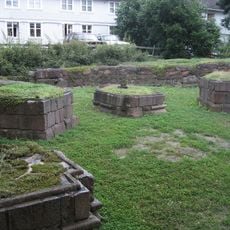
St. Olav's Abbey, Tønsberg
1 km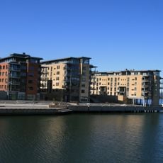
Kaldnes
1.1 km
Mariakirken i Tønsberg
861 m
Signaturen
746 m
Byfjorden
624 m
St. Olav Church
1.6 km
Svend Foyns arbeiderboliger
1.3 km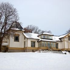
Villa Møllebakken
1.1 km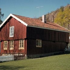
Bentegården
324 m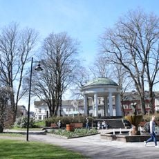
Stoltenbergparken, Tønsberg
766 m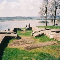
Mikaelskirken
282 m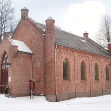
Mariakapellet i Tønsberg
950 m
Farmannshaugen
1.5 km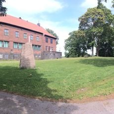
Haugar Vestfold kunstmuseum
1 km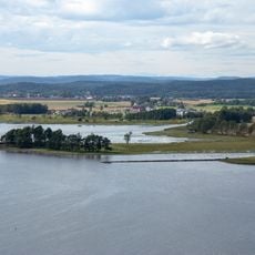
Ilene
843 m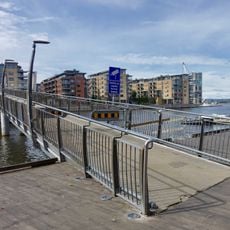
Kaldnes bru
984 m
Kjelleolla
868 m
SiV - Sykehuset i Vestfold - Tønsberg
1.2 km
Fjellanlegget, bergganger i Slottsfjellet
384 m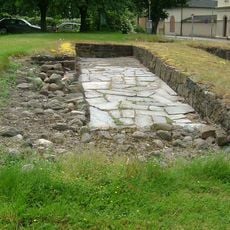
Håkon Håkonssons kongsgård
506 m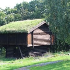
HEIERSTAD, Slottsfjellsmuseet
412 m
Britanniagården
899 mReviews
Visited this place? Tap the stars to rate it and share your experience / photos with the community! Try now! You can cancel it anytime.
Discover hidden gems everywhere you go!
From secret cafés to breathtaking viewpoints, skip the crowded tourist spots and find places that match your style. Our app makes it easy with voice search, smart filtering, route optimization, and insider tips from travelers worldwide. Download now for the complete mobile experience.

A unique approach to discovering new places❞
— Le Figaro
All the places worth exploring❞
— France Info
A tailor-made excursion in just a few clicks❞
— 20 Minutes