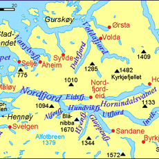
Via Ferrata Loen, Mountain climbing route in Stryn Municipality, Norway
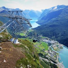
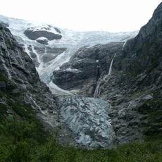
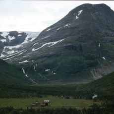
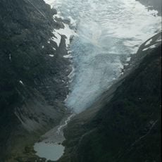
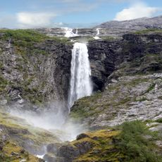
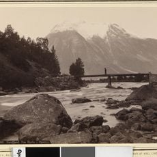
Via Ferrata Loen is a fixed climbing route that rises from the fjord to the summit of Hoven at 1011 meters. The path uses steel cables and bolted handholds to guide climbers through the ascent while revealing views of Lodalen and Oldedalen valleys.
This route continues what Italian military forces initiated during World War I in the Dolomites, when they anchored steel cables on rock faces. The system was adapted worldwide after the war and eventually reached Norway as a climbing method.
The route merges local Norwegian climbing practices with contemporary techniques using steel cables and fixed holds. Visitors can observe both beginners and experienced climbers progressing together up the rock face, sharing the same pathway.
You need standard via ferrata equipment including a harness and helmet, available for rent at Loen Active center located behind Hotel Alexandra. Wear sturdy footwear, allow several hours for the ascent and descent, and always check weather conditions before you go.
A standout feature is Gjølmunnebrua, a 120 meter long bridge that carries climbers across a 160 meter deep gorge at 750 meters elevation. This bridge ranks as Europe's longest via ferrata bridge and creates an unforgettable moment for most visitors.
The community of curious travelers
AroundUs brings together thousands of curated places, local tips, and hidden gems, enriched daily by 60,000 contributors worldwide.