
Fimsefjellet
Location: Kvinesdal Municipality
Elevation above the sea: 144 m
GPS coordinates: 58.36263,6.97045
Latest update: October 3, 2025 21:26
Vanse church
33.4 km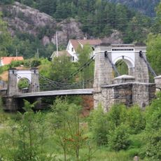
Bakke bridge
19.3 km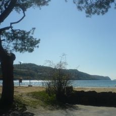
Rosfjord
27.2 km
Fedafjorden
22 km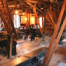
Gyland trevarefabrikk
10.1 km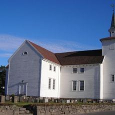
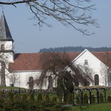
Lyngdal church
24.3 km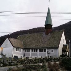
Herad
25.1 km
Husan
31.3 km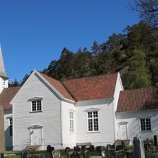
Konsmo Church
24.2 km
Lyngdalsfjorden
27 km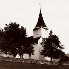
Feda Church
14.2 km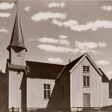
Laudal Church
33.8 km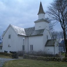
Eiken Church
18.9 km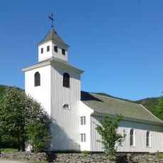
Kvås Church
17.4 km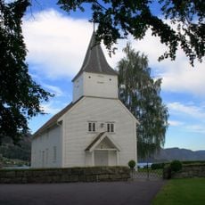
Lund Church
26.1 km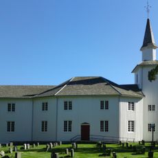
Hægebostad Church
14 km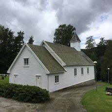
Haughom Chapel
28.6 km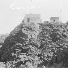
Varnes fyr
28.9 km
Grisefjorden
18.8 km
Bergstølsaga
25.1 km
Stolsfjorden
21.8 km
Åpta misjonssenter
22 km
Melhusfossen
34.1 km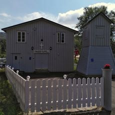
Knaben kapell
34 km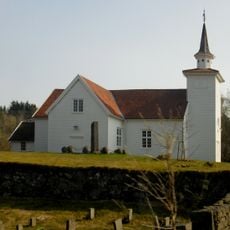
Spind
30.3 km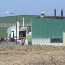
Alcoa Lista
34 km
Trollkirka
32 km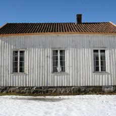
Bedehuset Emmaus
10.9 kmReviews
Visited this place? Tap the stars to rate it and share your experience / photos with the community! Try now! You can cancel it anytime.
Discover hidden gems everywhere you go!
From secret cafés to breathtaking viewpoints, skip the crowded tourist spots and find places that match your style. Our app makes it easy with voice search, smart filtering, route optimization, and insider tips from travelers worldwide. Download now for the complete mobile experience.

A unique approach to discovering new places❞
— Le Figaro
All the places worth exploring❞
— France Info
A tailor-made excursion in just a few clicks❞
— 20 Minutes