
Bratteflau, جرف في النرويج
Location: Våler
Elevation above the sea: 129 m
GPS coordinates: 59.45299,11.00502
Latest update: May 16, 2025 11:59
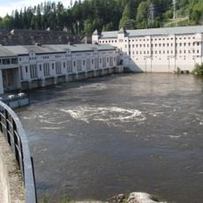
Vamma power station
13.6 km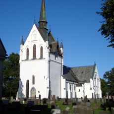
Eidsberg Church
16.1 km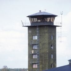
Rygge Air Station
14.9 km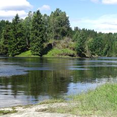
Valdisholm Castle
13.8 km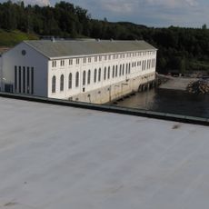
Kykkelsrud hydroelectric power station
15 km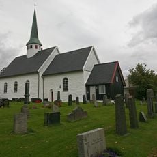
Våler Church
8.7 km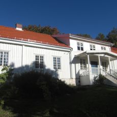
Spydeberg rectory
15.9 km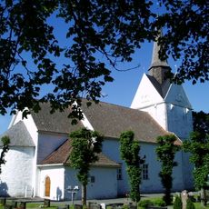
Råde Church
13.5 km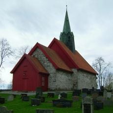
Skiptvet Church
9.8 km
Solli Church
14.4 km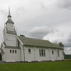
Svinndal Church
3.3 km
Os Church
13.2 km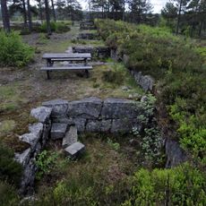
Vetaåsen batteri
11.3 km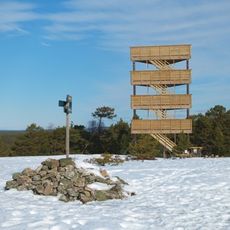
Fugleleiken
11.6 km
Holleby Church
13.7 km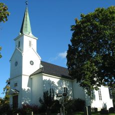
Varteig Church
15.5 km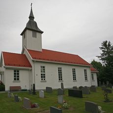
Heli Church
13.3 km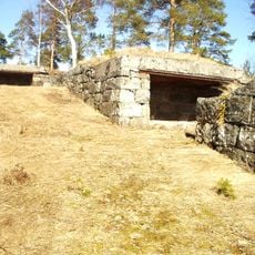
Staås batteri
13.3 km
Gyllerås batteri
13.8 km
Mossemarka
15.7 km
Skiptvet Bygdemuseum
9.2 km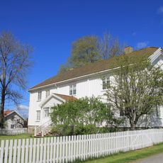
Skiptvet Parsonage
9.7 km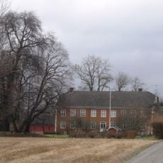
Lekum
15.9 km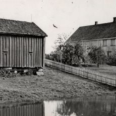
Tveter - Tveiter
10.4 km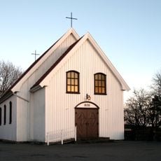
Skiptvet Chapel
9.8 km
Kåpegot - Kaapegot - Koppegodt
13.4 km
Oraug Jutulbua
14.6 km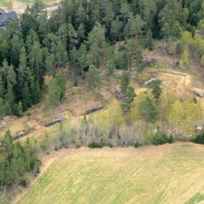
Kjellåsbatteriet
13.3 kmReviews
Visited this place? Tap the stars to rate it and share your experience / photos with the community! Try now! You can cancel it anytime.
Discover hidden gems everywhere you go!
From secret cafés to breathtaking viewpoints, skip the crowded tourist spots and find places that match your style. Our app makes it easy with voice search, smart filtering, route optimization, and insider tips from travelers worldwide. Download now for the complete mobile experience.

A unique approach to discovering new places❞
— Le Figaro
All the places worth exploring❞
— France Info
A tailor-made excursion in just a few clicks❞
— 20 Minutes