
Rognskartinden, Berggipfel in Norwegen
Location: Senja Municipality
Elevation above the sea: 246 m
GPS coordinates: 69.37265,17.06134
Latest update: May 18, 2025 00:44
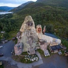
Senja Troll
8.9 km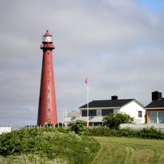
Andenes Lighthouse
37.5 km
Mefjorden
24.1 km
Ersfjorden
18.1 km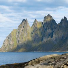
Okshornan
20.4 km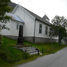
Gryllefjord Chapel
1.2 km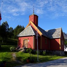
Torsken Church
4.2 km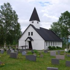
Sandbakken Chapel
28.1 km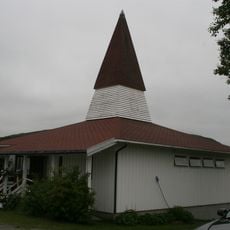
Lysbotn Chapel
35.2 km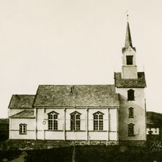
Stonglandet Church
32.5 km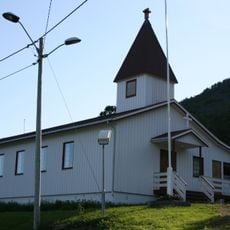
Fjordgård Chapel
26.8 km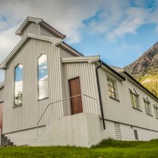
Husøy Chapel
30.1 km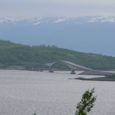
Dyrøy Bridge
37.9 km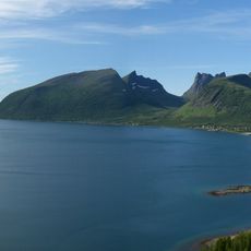
Bergsfjorden
13 km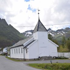
Mefjordvær Chapel
21.8 km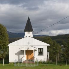
Finnsæter Chapel
9 km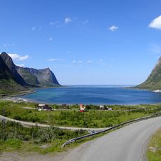
Steinfjorden
14.6 km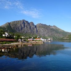
Skipsfjorden
4.6 km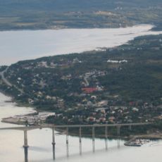
Laksfjorden
36.7 km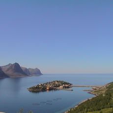
Øyfjorden
30.8 km
Straumsbotn
12.1 km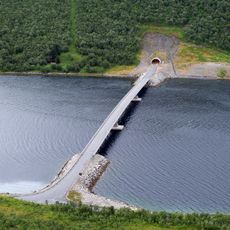
Gryllefjordbrua
3 km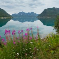
Sifjorden
13.2 km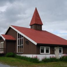
Svanelvmo kapell
24.3 km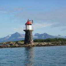
Stonglandseidet lighthouse
32.8 km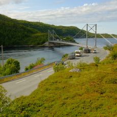
Trongstraumen bru
9.7 km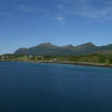
Lavollsfjorden
10.4 km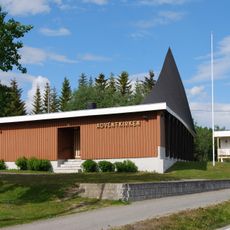
Adventkirken Indre Senja
37.7 kmReviews
Visited this place? Tap the stars to rate it and share your experience / photos with the community! Try now! You can cancel it anytime.
Discover hidden gems everywhere you go!
From secret cafés to breathtaking viewpoints, skip the crowded tourist spots and find places that match your style. Our app makes it easy with voice search, smart filtering, route optimization, and insider tips from travelers worldwide. Download now for the complete mobile experience.

A unique approach to discovering new places❞
— Le Figaro
All the places worth exploring❞
— France Info
A tailor-made excursion in just a few clicks❞
— 20 Minutes