
Spisstinden, Berggipfel in Norwegen
Location: Tromsø Municipality
Elevation above the sea: 760 m
GPS coordinates: 69.72621,18.40275
Latest update: May 17, 2025 04:59

Sandnessund Bridge
19.7 km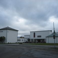
Tromsø University Museum
22.2 km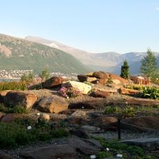
Arctic-alpine Botanic Garden
22.8 km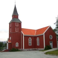
Elverhøy Church
21.8 km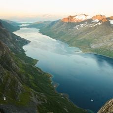
Ersfjorden
3.7 km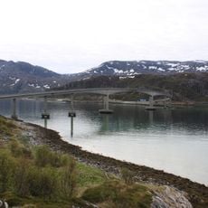
Sommarøy Bridge
17.9 km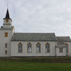
Hillesøy Church
20.2 km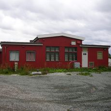
Norwegian Telecom Museum
20 km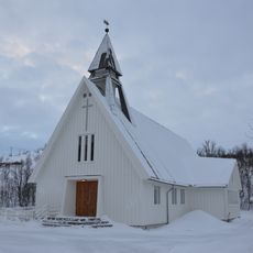
Kvaløy Church
14.1 km
Grønnåsen Church
22.2 km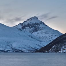
Kaldfjorden
11.8 km
Fylkeshuset i Tromsø
22.9 km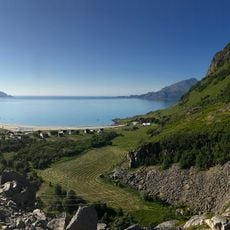
Grøtfjorden
5.7 km
Regional State Archives in Tromsø
22.6 km
Nordnorsk vitensenter
22.6 km
Gåsvær Kapel
21.2 km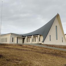
Sommarøy baptistkirke
18.3 km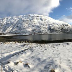
Lyfjorden
14.5 km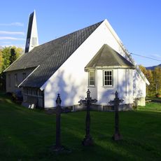
Mjelde kapell
20.5 km
Adventkirken
22.8 km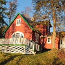
Lille Strandheim, Tromsø
21 km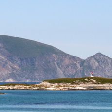
Håja-Røssholmen
13 km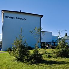
Arctic University Museum of Norway
22.2 km
Tromsøbadet
22.1 km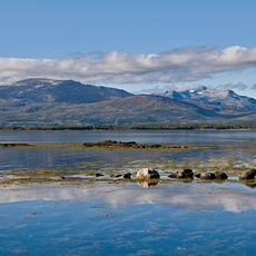
Grindøysundet
19.9 km
Prestvatn
21.9 km
Kirsten Sand huset - Mellomveien 130
22.3 km
Universitetssykehuset Nord-Norge Åsgård
21.3 kmReviews
Visited this place? Tap the stars to rate it and share your experience / photos with the community! Try now! You can cancel it anytime.
Discover hidden gems everywhere you go!
From secret cafés to breathtaking viewpoints, skip the crowded tourist spots and find places that match your style. Our app makes it easy with voice search, smart filtering, route optimization, and insider tips from travelers worldwide. Download now for the complete mobile experience.

A unique approach to discovering new places❞
— Le Figaro
All the places worth exploring❞
— France Info
A tailor-made excursion in just a few clicks❞
— 20 Minutes