Ulstadfossen, Wasserfall in Norwegen
Location: Stjørdal Municipality
GPS coordinates: 63.49823,11.13568
Latest update: October 30, 2025 06:44
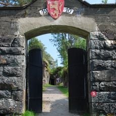
Hegra Fortress
5.4 km
Leirfall rock art site
3.5 km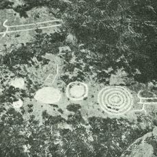
Ydstines
7.6 km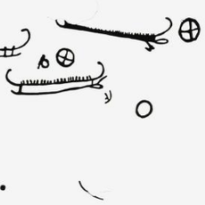
Hegre rock carvings
3.8 km
Smaagaard vestre
2.9 km
Ingstad vestre
5.7 km
Hegre III
2.5 km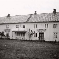
Ingstad østre
5.8 km
Fordal vestre
4.5 km
Ingstad I - IV
5.5 km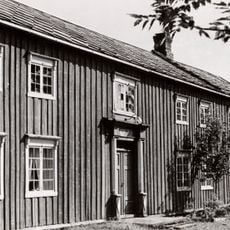
Bjugan østre
3.6 km
Mona I
6 km
Ulstad I
410 m
Hegre (Hegre II, VI og VII)
3.9 km
Hegre VIII (Opprinnelig beliggenhet)
2.5 km
Berri I
7.6 km
Smågård I (+II)
3 km
Knotten I
2.9 km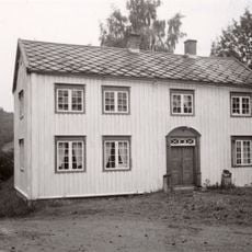
Bjørngård vestre
3.5 km
Skjelstad
1.4 km
Hjelpdal I
6.3 km
Skjelstad I - III
1.3 km
Hegre VIII (Præstegaarden)
3.8 km
Bjørngård (A, B og C)
3 km
Fordal 1
5 km
Hundkjerka
5.3 km
Scenic viewpoint
5.6 km
Vollshaugen
6.7 kmReviews
Visited this place? Tap the stars to rate it and share your experience / photos with the community! Try now! You can cancel it anytime.
Discover hidden gems everywhere you go!
From secret cafés to breathtaking viewpoints, skip the crowded tourist spots and find places that match your style. Our app makes it easy with voice search, smart filtering, route optimization, and insider tips from travelers worldwide. Download now for the complete mobile experience.

A unique approach to discovering new places❞
— Le Figaro
All the places worth exploring❞
— France Info
A tailor-made excursion in just a few clicks❞
— 20 Minutes