
Stølafossen, Wasserfall in Norwegen
Location: Sogndal Municipality
GPS coordinates: 61.41650,6.76937
Latest update: March 13, 2025 14:33
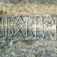
Eggja stone
24.8 km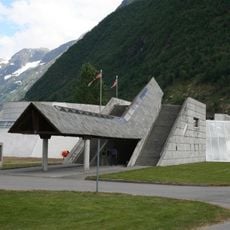
The Norwegian Glacier Museum
826 m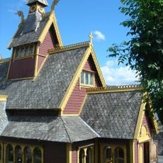
St Olaf's Church
26.4 km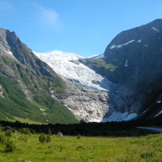
Bøyabreen
7.4 km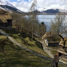
Astruptunet
27 km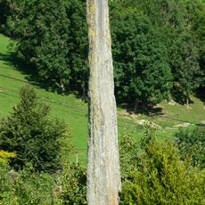
Baldersteinen
25.8 km
Fjærlandsfjorden
13.3 km
Supphellebreen
7.4 km
Esefjorden
25.6 km
The Norwegian Museum of Travel and Tourism
26.1 km
Austerdalsbreen
23.4 km
Kjøsnesfjorden
17.5 km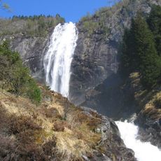
Kvinnefossen
23.9 km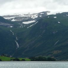
Grovabreen
15.7 km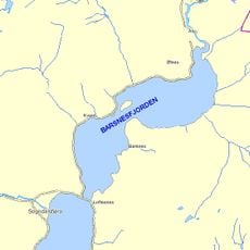
Barsnesfjorden
27 km
Utsikten
15.2 km
Vetlefjorden
18.7 km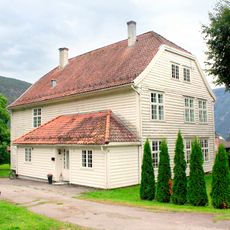
Sogndal prestegård
26.9 km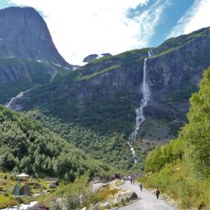
Volefossen
27.3 km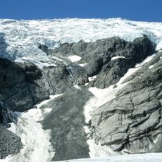
Lokebreen
22.6 km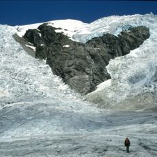
Odinsbreen
22.6 km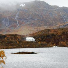
Kviteforklefossen
21.2 km
Torsbreen
24.5 km
Sogn politimeisterbustad
25.8 km
Seter
23.9 km
Sevi
20 km
Fett fk. 3, Kjerringmyri
24.1 km
Befringsstøylen - Bevring (Liastova)
20 kmReviews
Visited this place? Tap the stars to rate it and share your experience / photos with the community! Try now! You can cancel it anytime.
Discover hidden gems everywhere you go!
From secret cafés to breathtaking viewpoints, skip the crowded tourist spots and find places that match your style. Our app makes it easy with voice search, smart filtering, route optimization, and insider tips from travelers worldwide. Download now for the complete mobile experience.

A unique approach to discovering new places❞
— Le Figaro
All the places worth exploring❞
— France Info
A tailor-made excursion in just a few clicks❞
— 20 Minutes