Pagudpud, Coastal municipality in Ilocos Norte, Philippines
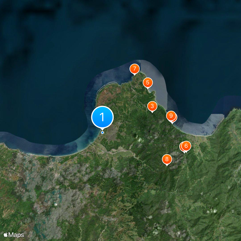
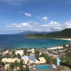
Pagudpud is a coastal municipality in northern Ilocos Norte situated along beaches with white sand and transparent waters. The landscape features mountain ridges that rise to approximately 92 meters above sea level.
The settlement became an independent municipality on July 5, 1954, when it separated from the adjacent town of Bangui under Constante Benemerito's leadership. This separation created a distinct administrative entity for the local population.
The community observes Roman Catholic traditions alongside local customs, with both evident in the way residents celebrate and gather throughout the year.
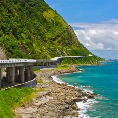
Regular bus services connect this destination to Manila, with connections to Laoag City followed by a northbound drive along the coast that takes about 90 minutes. Visitors should check local weather patterns and road conditions before planning their trip.
The area hosts the Bangui Wind Farm, one of the earliest large-scale wind energy installations in Southeast Asia, with around 20 turbines positioned along the shoreline. This facility shows how renewable energy development has shaped the local landscape.
The community of curious travelers
AroundUs brings together thousands of curated places, local tips, and hidden gems, enriched daily by 60,000 contributors worldwide.