Tacloban, Regional capital in Eastern Visayas, Philippines
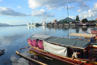
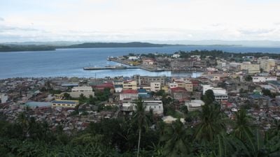
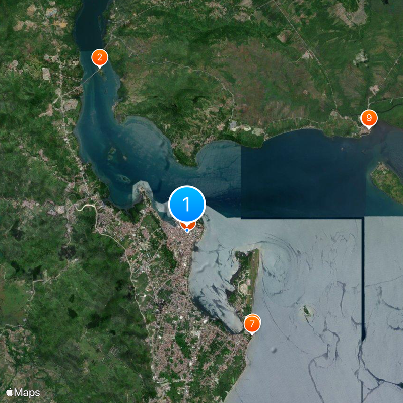
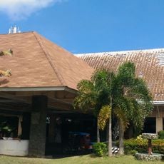
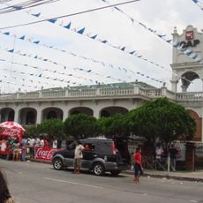
Tacloban is a regional capital in Eastern Visayas, Philippines, stretching along the coast of San Juanico Strait. The city sits on a natural bay with a deep-water harbor and several commercial districts that extend from the waterfront into the interior.
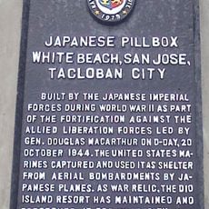
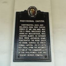
American forces under General Douglas MacArthur landed nearby in October 1944 and temporarily established the Philippine capital here. After World War II, the city grew into an important regional center for administration and trade.
The name Tacloban comes from 'taklub', referencing the traditional bamboo trays that local fishermen used for catching seafood in coastal waters.
The city is divided into 138 barangays, with some closer to the port area and others further inland. Visitors will find most services and markets in the central areas near the coast.
Typhoon Haiyan struck the city in November 2013 and led to a complete rebuilding effort with new buildings and reinforced infrastructure. Many streets and public facilities were redesigned to modern standards during this reconstruction.
The community of curious travelers
AroundUs brings together thousands of curated places, local tips, and hidden gems, enriched daily by 60,000 contributors worldwide.