Sarangani

Log in to your account

AroundUs is a community-driven map of interesting places, built by curious explorers like you. It grows with every review, story, and photo you share.
Connect to save your favorite spots, contribute locations, and create personalized routes.
Continue with Google
Continue with Apple
Continue with X
Continue with Facebook
Continue with email
By continuing, you accept our Terms and Conditions and our Privacy Policy
Create an account
Add to collection
Map
Suggest a change
Share

Sarangani, Administrative province in southern Mindanao, Philippines

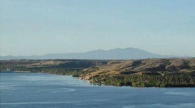
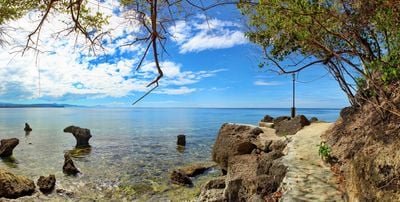
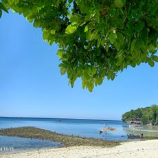
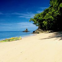
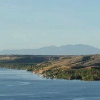
Sarangani is an administrative province at the southern tip of Mindanao, stretching between Sarangani Bay and the Celebes Sea. The territory includes coastal plains along the 230-kilometer shoreline as well as forested mountain slopes inland.

The province was separated from South Cotabato in 1992 through Republic Act No. 7228, establishing it as an independent administrative unit. This reorganization followed decades of local communities seeking administrative autonomy in the region.

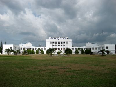
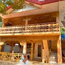
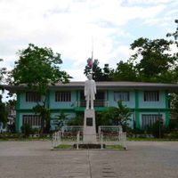
The provincial seat in Alabel displays a mix of modern office buildings and open squares where residents from the seven municipalities gather. In the coastal towns, morning fish markets feature vendors selling freshly caught tuna and other seafood.

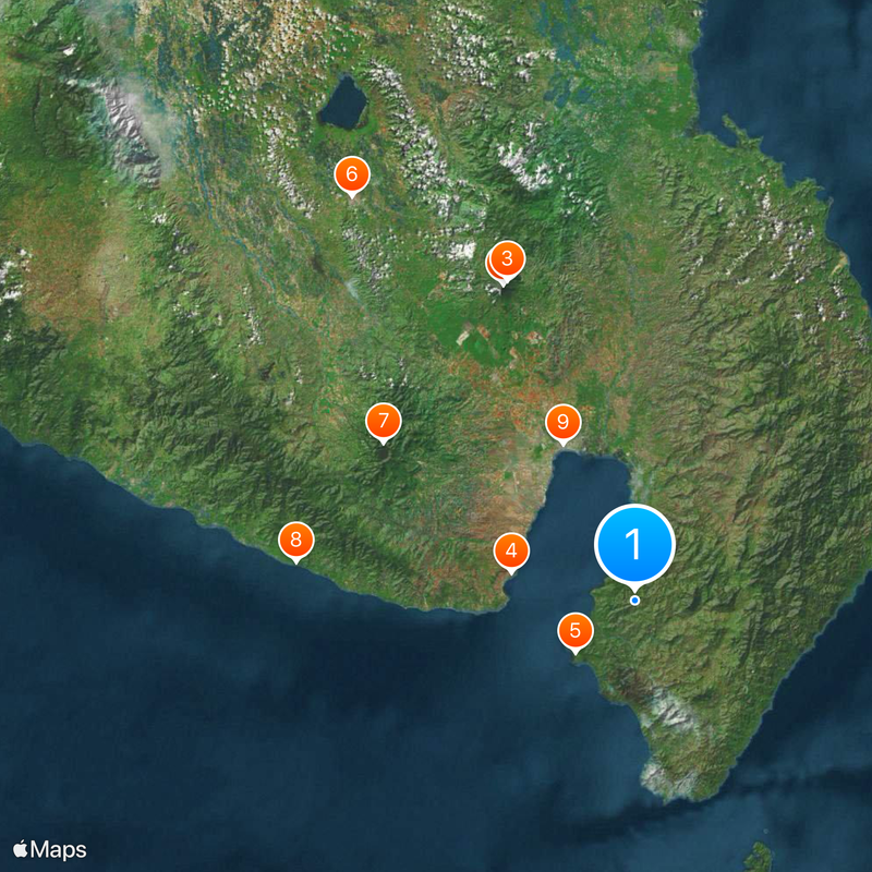
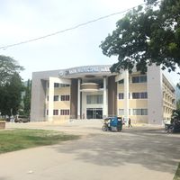
Alabel serves as the capital and starting point for visits to the other six municipalities spread across the provincial territory. Travelers can choose between coastal routes along the bay and inland paths through mountainous areas to explore different landscape types.

In the Maitum municipality area, ceramic vessels shaped like human figures from the period between 5 BC and 370 AD were discovered serving as burial containers. These anthropomorphic pottery pieces from the Metal Age provide insight into burial rites of early settler communities along the southern coast.

Location: Soccsksargen

Inception: November 28, 1992

Capital city: Alabel

Reference: 128000000

Shares border with: Sultan Kudarat, Davao Occidental, South Cotabato, Davao del Sur

Address: 2 Pag-Asa 1 St, Kiamba, Sarangani, Philippines

Website: http://sarangani.gov.ph

GPS coordinates: 5.86667,125.28333

Latest update: December 17, 2025 07:37

Photos
Reviews

Visited this place? Tap the stars to rate it and share your experience / photos with the community! Try now! You can cancel it anytime.

« Sarangani - Administrative province in southern Mindanao, Philippines » is provided by Around Us (aroundus.com). Images and texts are derived from Wikimedia project under a Creative Commons license. You are allowed to copy, distribute, and modify copies of this page, under the conditions set by the license, as long as this note is clearly visible.

Discover hidden gems everywhere you go!

From secret cafés to breathtaking viewpoints, skip the crowded tourist spots and find places that match your style. Our app makes it easy with voice search, smart filtering, route optimization, and insider tips from travelers worldwide. Download now for the complete mobile experience.

Around Us App Screenshot

A unique approach to discovering new places

Le Figaro

All the places worth exploring

France Info

A tailor-made excursion in just a few clicks

20 Minutes