Kiamba, municipality of the Philippines in the province of Sarangani
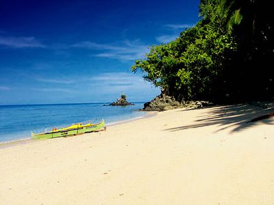
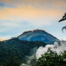
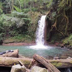
Kiamba is a municipality in Sarangani province, in the southern Philippines, situated along the coast of the Celebes Sea. It consists of a small town center with low-rise buildings, a fishing harbor, and several barangays spread between the shoreline and the inland hills.
Kiamba grew over centuries as a fishing and farming community along the Sarangani coast, shaped by the indigenous peoples of the region. In the 20th century, it was formally established as a separate municipality, giving it the administrative shape it has today.
In Kiamba, traditional houses made of bamboo and nipa leaves stand next to newer buildings, showing how older construction styles survive alongside modern ones. At local markets, fishers and farmers sell directly to residents, giving daily life a grounded and unhurried rhythm.
The dry season is the most practical time to visit, when roads are easy to navigate and outdoor markets are fully active. Getting around within the municipality is easiest by tricycle, the common local transport used by residents throughout the area.
Kiamba sits at the passage between the Celebes Sea and Sarangani Bay, giving it a geographic position that is uncommon for towns of its size in the region. This location has shaped local fishing patterns over generations and helps explain why the sea plays such a central role in everyday life here.
The community of curious travelers
AroundUs brings together thousands of curated places, local tips, and hidden gems, enriched daily by 60,000 contributors worldwide.