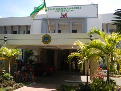
Bustos, Administrative municipality in Bulacan, Philippines.
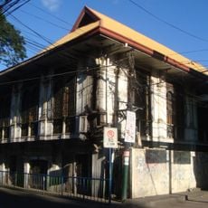
Bustos is a municipality on Luzon island in Bulacan province, situated on flat land with extensive rice fields and irrigation networks. The area consists of multiple barangays spread across farmland where water channels and rural paths shape the landscape.
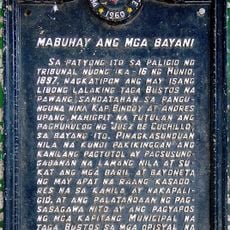
The municipality was established in 1867 when it separated from the neighboring town of Baliuag to form its own administration. It then developed as an agricultural center in the Bulacan region.
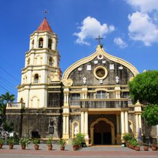
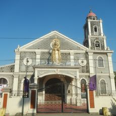
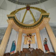
The Santo Niño de Bustos Parish Church sits at the heart of community life, especially during the annual Minasa Festival in January. Streets fill with performances and food stalls where visitors can taste local specialties and experience how residents celebrate together.
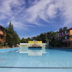
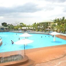
The town is located centrally among several neighboring municipalities and is easily accessible via local roads connecting the various villages. Visitors here encounter mainly rural landscapes, so comfortable clothes and water are recommended.
The area is known for its traditional irrigation methods that generations of farmers have perfected to sustain rice growing to this day. These ancient water systems remain part of daily work life and shape how the landscape is organized.
The community of curious travelers
AroundUs brings together thousands of curated places, local tips, and hidden gems, enriched daily by 60,000 contributors worldwide.