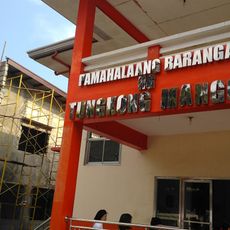
Marilao, Municipality in Bulacan, Philippines.
Marilao is a municipality in Bulacan situated between two neighboring communities, with low-lying lands and rice-growing areas scattered throughout. The terrain gradually slopes toward the coastal plains and is crossed by major roads that link residential areas with commercial and industrial zones.
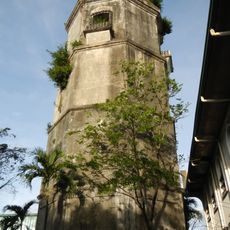
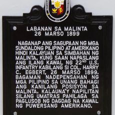
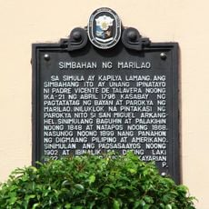
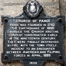
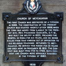
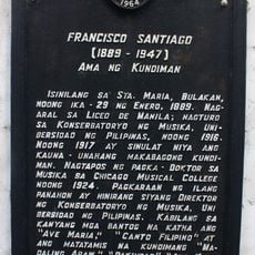
Augustinian friars established this place as a separate town in the late 1700s after it was detached from neighboring jurisdiction. This founding marked the beginning of its independent development as a distinct community.
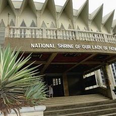
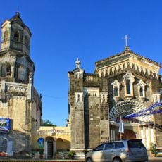
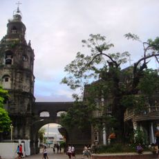
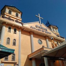
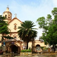
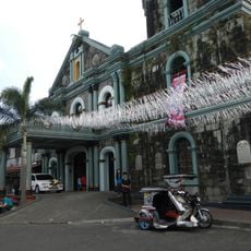
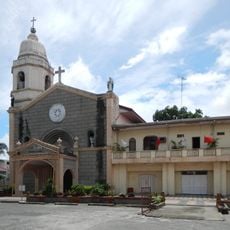
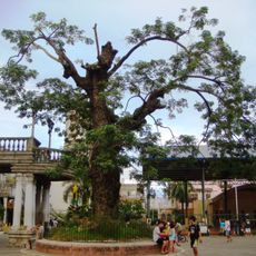
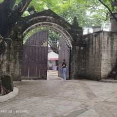
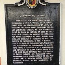
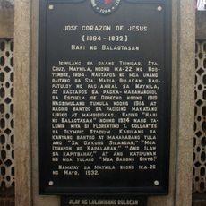
The Catholic faith shapes daily life in Marilao, with residents gathering for local feast celebrations tied to saints and religious observances. Walking through neighborhoods, you notice small shrines and churches that serve as natural meeting points for the community.
Access is provided by a major expressway connection from the north, offering quick travel routes southward for visitors. Plan to explore using local transport options, as the area is spread across different zones with varying terrain.
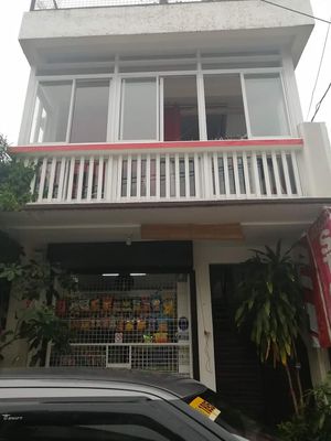
The area serves as a manufacturing hub producing textiles, wooden items, and processed foods that supply much of the nation. Many factories and workshops sit alongside residential areas, making industrial activity a visible part of daily life.
Location: Bulacan
Inception: 1796
Elevation above the sea: 9 m
Shares border with: Bocaue, Meycauayan, San Jose del Monte, Santa Maria, Caloocan, Valenzuela
Address: Marilao, Bulacan, Philippines
Website: http://marilao.gov.ph
GPS coordinates: 14.75806,120.94806
Latest update: December 7, 2025 19:32
Philippine Stadium
4.1 km
People's Park
7.8 km
National Shrine of Our Lady of Fatima
9.1 km
Bulakan Church
8.4 km
Meycauayan Church
2.7 km
Polo Church
5.7 km
Shrine of Our Lady of Mercy
10.8 km
Marilao Church
106 m
St. Martin of Tours Parish
4.8 km
San Lorenzo de Roma Church
8 km
Grotto Vista Resort
12.7 km
Meycauayan Tree
2.8 km
Battle of Malinta historical marker
7.5 km
Dream Wave Resort
4.8 km
Museo Valenzuela
9.1 km
Dr. Pio Valenzuela historical marker
5.5 km
Birthplace of Balagtas historical marker
8.8 km
The Town of Obando historical marker
5.5 km
The Church of Bulacan historical marker
8.5 km
Tungkong Mangga Barangay Hall
13.7 km
Headquarters of the Military Operations in Manila historical marker
5.7 km
Pio Valenzuela historical marker
5.5 km
Church of Obando historical marker
5.4 km
Church of Marilao historical marker
69 m
Church of Pandi historical marker
7 km
Church of Meycauayan historical marker
2.8 km
Jose Corazon de Jesus historical marker
6.9 km
Francisco Santiago historical marker
7.1 kmVisited this place? Tap the stars to rate it and share your experience / photos with the community! Try now! You can cancel it anytime.
Discover hidden gems everywhere you go!
From secret cafés to breathtaking viewpoints, skip the crowded tourist spots and find places that match your style. Our app makes it easy with voice search, smart filtering, route optimization, and insider tips from travelers worldwide. Download now for the complete mobile experience.
A unique approach to discovering new places❞
— Le Figaro
All the places worth exploring❞
— France Info
A tailor-made excursion in just a few clicks❞
— 20 Minutes