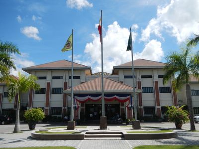
San Rafael, municipality of the Philippines in the province of Bulacan
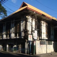
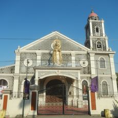
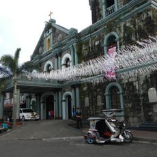
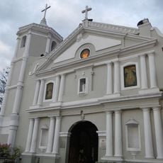
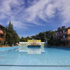
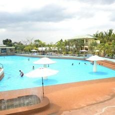
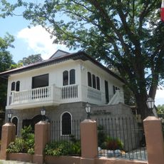
San Rafael is a municipality in Bulacan province, located north of Metro Manila. It spreads across flat terrain with a mix of agricultural land, residential neighborhoods, and small commercial areas centered along its main thoroughfare.
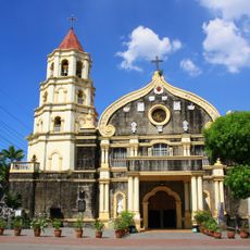
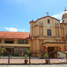
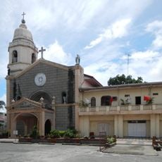
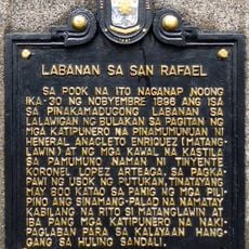
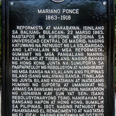
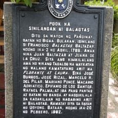
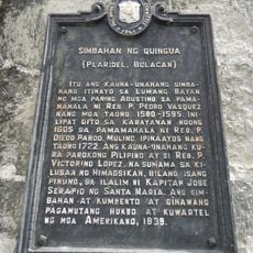
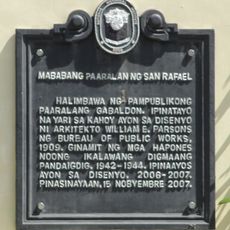
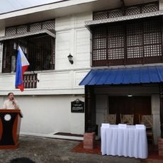
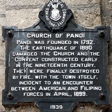
The settlement was founded during the Spanish colonial period and named after Saint Rafael. Early development centered on farming and local communities, before proximity to Metro Manila brought changes during the 20th century.
The best time to visit is during the dry season when roads are easier to travel. Most places are reachable on foot or by local transport like jeepneys, with the central area being most accessible.
The community of curious travelers
AroundUs brings together thousands of curated places, local tips, and hidden gems, enriched daily by 60,000 contributors worldwide.