Enable Location

We need your location to show you interesting places around you

Discover nearby places

Find interesting locations and hidden gems around you

Precise directions

Get accurate directions and distances to places

Your location is never shared with other users. It's only used when you tap the location button.

Olongapo

Log in to your account

Start exploring — it's free

Trusted by 62,117 travelers worldwide

Continue with Google
Continue with Apple
or

We will send you a code to connect

By continuing, you accept our Terms and Conditions and our Privacy Policy

Check your inbox

We've sent a pincode in your inbox. Please enter the code below.

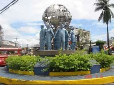
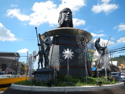
Olongapo, City district in Central Luzon, Philippines

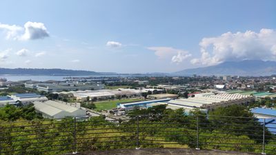
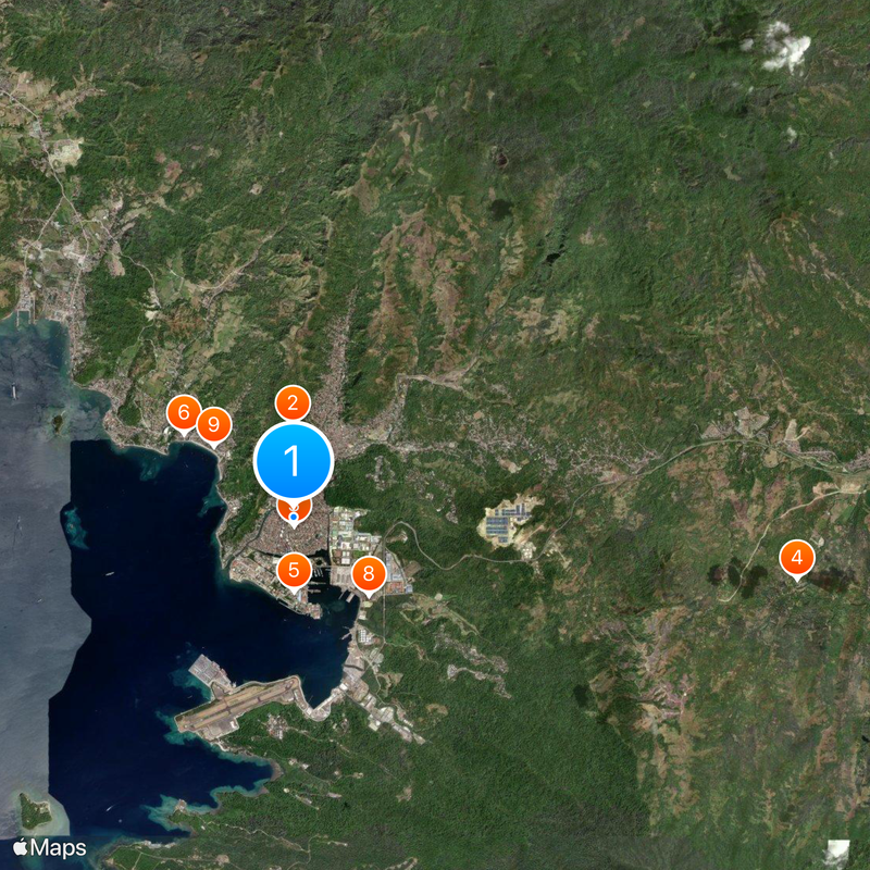
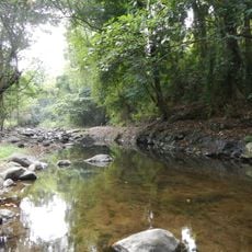
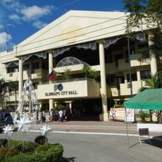
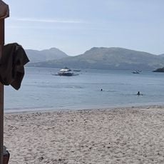
Olongapo is a city in Zambales within the Central Luzon region of the main island of Luzon, stretching along the shore of Subic Bay. It is divided into several districts that reach from the waterfront inland, forming a mix of residential, commercial, and port areas.

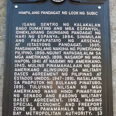
The Spanish colonial navy established a naval station here in 1884 and built an arsenal that remained active until the end of Spanish rule in the Philippines. After the Spanish-American War, the United States took over the facilities and expanded them into one of the largest fleet bases in the western Pacific.

The name Olongapo comes from a Sambal word for a plant that once grew along the coast, though different versions of the story exist. Many residents speak Tagalog in daily life, while older generations also use Ilocano or Sambal depending on their family background.

Most of the city lies close to the coast and is easy to reach on foot or by public transport. Visitors planning to explore the surrounding hills or harbor areas should allow extra time, as distances can be greater than they appear on maps.

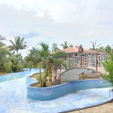
After the American navy withdrew in the 1990s, the former military grounds were converted into a freeport zone. This change brought new industries, an airport, and leisure facilities to the region, reshaping the character of the city.

The community of curious travelers

AroundUs brings together thousands of curated places, local tips, and hidden gems, enriched daily by 60,000 contributors worldwide.

Start exploring
Location
Location
Inception
November 4, 1750
Elevation above the sea
193 m
Reference
0331400000
Shares border with
Subic, Dinalupihan, Morong
Address
Olongapo, Zambales, Philippines
GPS coordinates
14.83333,120.28333
Latest update
December 12, 2025 23:31
« Olongapo - City district in Central Luzon, Philippines » is provided by Around Us (aroundus.com). Images and texts are derived from Wikimedia project under a Creative Commons license. You are allowed to copy, distribute, and modify copies of this page, under the conditions set by the license, as long as this note is clearly visible.

Discover hidden gems everywhere you go!

From secret cafés to breathtaking viewpoints, skip the crowded tourist spots and find places that match your style. Our app makes it easy with voice search, smart filtering, route optimization, and insider tips from travelers worldwide. Download now for the complete mobile experience.

Around Us App Screenshot

A unique approach to discovering new places

Le Figaro

All the places worth exploring

France Info

A tailor-made excursion in just a few clicks

20 Minutes

Around Us
Travel Guide & Maps
Download

Send to your phone

QR Code
1

Open the camera app on your mobile.

2

Point at the QR code with your camera. A notification will appear.

3

Tap the notification to open the link.