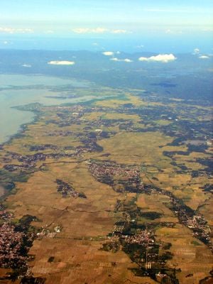
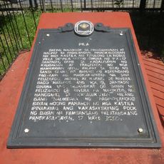
Pila, municipality of the Philippines in the province of Laguna
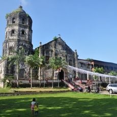
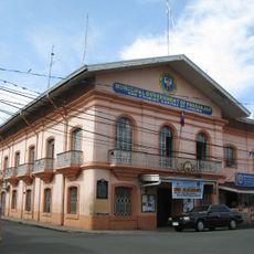
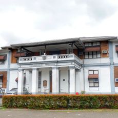
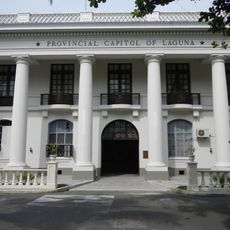
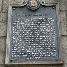
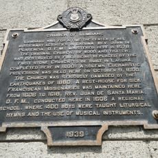
Pila is a municipality in Laguna province, Philippines, characterized by preserved colonial-era buildings and quiet streets arranged around a central plaza. The heart of town features the San Antonio de Padua Church with its distinctive red bell tower, surrounded by homes built with stone masonry and wood that date from the late 1800s and early 1900s.
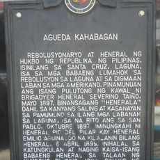
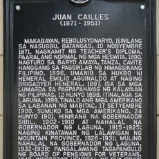
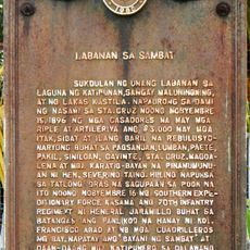
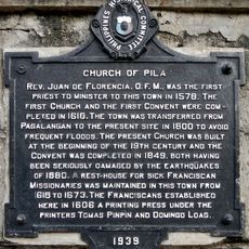
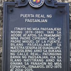
Pila ranks among the Philippines' oldest settlements, with archaeological pottery evidence showing habitation over a thousand years ago. When Spaniards arrived in the late 1500s, they established the town in 1578 and granted it the title 'La Noble Villa de Pila'; the Franciscans later opened the nation's first printing press here in 1611, making it a center of learning.
The name originates from 'Pagalangan,' meaning 'Place of Reverence,' reflecting a long spiritual tradition that still shapes community gatherings today. Locals and visitors experience this living heritage through celebrations like the San Antonio de Padua fiesta, where family meals and processions connect people to their past.
The town is best explored on foot since most historic buildings and sites cluster around the central plaza and adjacent streets. Visitors should wear comfortable shoes and arrive during early morning or late afternoon when temperatures are cooler and lighting is better for photography.
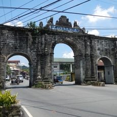
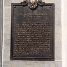
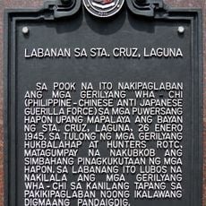
While nearby towns suffered substantial damage during World War II, Pila escaped major destruction and thus preserves a coherent picture of daily life from the 1800s and early 1900s. This makes it a rare window into how a colonial town actually looked and functioned during that era.
The community of curious travelers
AroundUs brings together thousands of curated places, local tips, and hidden gems, enriched daily by 60,000 contributors worldwide.