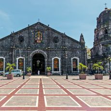
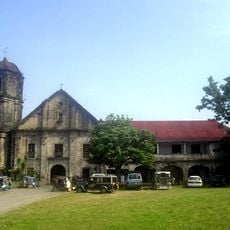
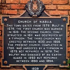
Oas, municipality of the Philippines in the province of Albay
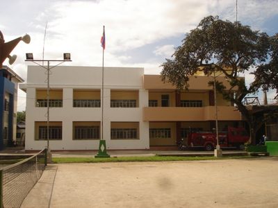
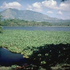
Oas is a small municipality in the province of Albay in the Philippines, situated in a flat area surrounded by hills. The town is primarily agricultural, with rice fields and other crops farmed year-round by local farmers who follow seasonal rhythms.
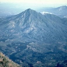
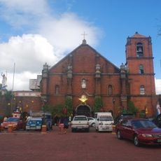
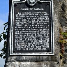
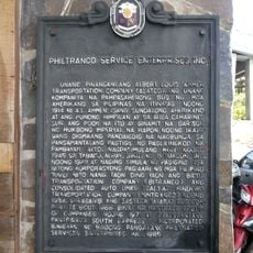
The town was founded as settlers established themselves in the plain and it developed into an independent municipality over time. Its history is marked by the resilience of people who maintained their traditions and way of life despite natural challenges from typhoons and the volcanic activity of Mayon.
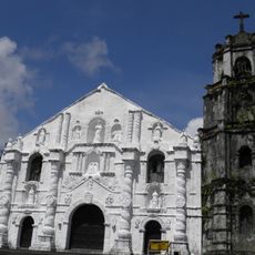
The name Oas comes from the local language and means 'valley' or 'plain', reflecting the open landscape. People here keep traditional crafts alive, working with abaca fiber from a banana plant, and gather for religious festivals with processions, dances, and shared meals that show strong community ties.
Visitors can stay in simple guesthouses and inns that provide comfort without luxury. Jeepneys and tricycles are the usual ways to get around town, while buses connect regularly to larger cities like Legazpi for easy travel.
The Mayon Volcano with its perfect cone shape is visible from many parts of town and shapes the daily perspective of residents. This constant view connects people to nature's power and the long history of the land embodied in this towering peak.
The community of curious travelers
AroundUs brings together thousands of curated places, local tips, and hidden gems, enriched daily by 60,000 contributors worldwide.