Scarborough Shoal, Disputed skerry in South China Sea, Philippines
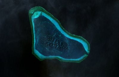
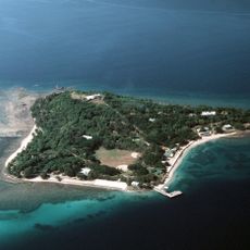
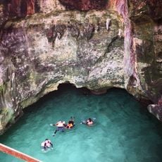
Scarborough Shoal is a skerry in the South China Sea claimed by the Philippines, China and Taiwan, made up of several rocks and reefs. The formation creates a shallow triangle with sandbars, coral walls and open channels that small boats can navigate during calm weather.
Spanish cartographers charted this formation in 1734 as part of Philippine waters. British survey ships mapped the shoal in the 19th century and gave it its English name.
Fishermen from coastal provinces use these waters for their traditional catch methods and often stay on their boats for several days. The names of the underwater formations come from Philippine dialects and reflect the long connection between local communities and this area.
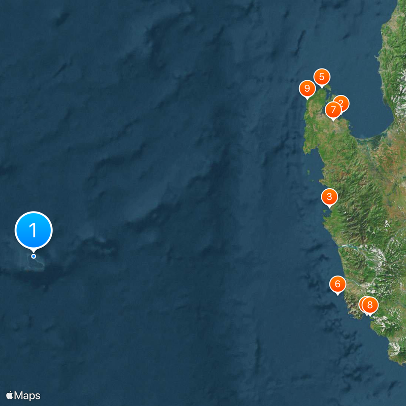
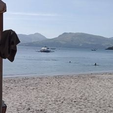
The area sits about 200 kilometers (120 miles) west of the Philippine coast and can only be reached by boat. Waters can become difficult to navigate during strong winds and high waves, so visitors should check weather conditions beforehand.
The inner lagoon can become completely submerged during high tide, while several small sandbars emerge at low tide. Local fishermen sometimes spot sea turtles resting in the shallow waters.
The community of curious travelers
AroundUs brings together thousands of curated places, local tips, and hidden gems, enriched daily by 60,000 contributors worldwide.