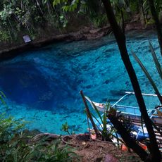
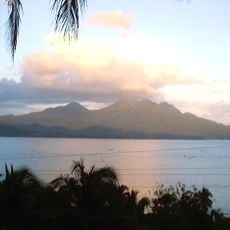
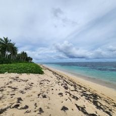
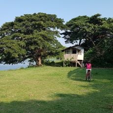
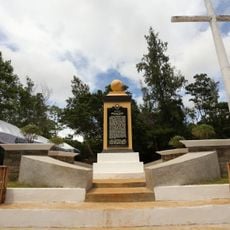
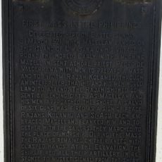
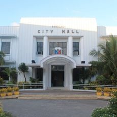
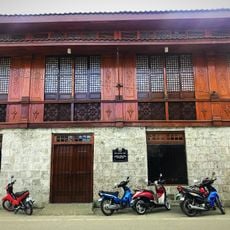
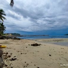
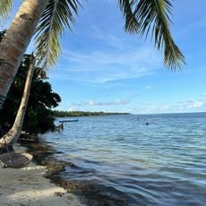
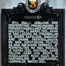
Socorro, municipality of the Philippines in the province of Surigao del Norte
Location: Surigao del Norte
Inception: February 22, 1961
Elevation above the sea: 27 m
Shares border with: Del Carmen
Website: http://socorro.gov.ph
GPS coordinates: 9.61806,125.96611
Latest update: March 3, 2025 07:38
Hinatuan Enchanted River
136.3 km
Cabalian Volcano
110 km
Macapagal Bridge
89.7 km
Maasin Cathedral
136.3 km
Islander's Castle
43.2 km
Pelaez Ancestral House
129.8 km
Surigao Cathedral
55.2 km
Siargao Islands Protected Landscape and Seascape
22.5 km
Andanan Watershed Forest Reserve
87 km
Magpupungko Beach
33.1 km
Pacifico Beach
39.3 km
Butuan National Museum
88.3 km
Alegria beach
49.8 km
Oppus Ancestral House historical marker
135.9 km
Site of the First Raising of the Philippine Flag in Mindanao historical marker
55.3 km
Butuan Cathedral
87.9 km
Balangay Shrine Museum
90.2 km
JB Nature Farm and Resort
50.8 km
Suluan quincentennial historical marker
127.3 km
Tandag Cathedral
65.1 km
Homonhon quincentennial historical marker
121.3 km
First Mass in the Philippines historical marker
113.8 km
Surigao City Hall
55.3 km
Oppus House
135.9 km
Sampaguita Beach
25.3 km
Malinao Beach
24.5 km
Homonhon historical marker
121.3 km
Cloud 9
30.8 kmReviews
Visited this place? Tap the stars to rate it and share your experience / photos with the community! Try now! You can cancel it anytime.
Discover hidden gems everywhere you go!
From secret cafés to breathtaking viewpoints, skip the crowded tourist spots and find places that match your style. Our app makes it easy with voice search, smart filtering, route optimization, and insider tips from travelers worldwide. Download now for the complete mobile experience.
A unique approach to discovering new places❞
— Le Figaro
All the places worth exploring❞
— France Info
A tailor-made excursion in just a few clicks❞
— 20 Minutes