
Omar, municipality of the Philippines in the province of Sulu
Location: Sulu
Elevation above the sea: 38 m
Shares border with: Banguingui
GPS coordinates: 5.98333,121.40000
Latest update: March 15, 2025 22:48
Fort Pilar
127 km
Bangsamoro Parliament
342.5 km
Bud Dajo
38.2 km
Zamboanga City Hall
126.9 km
Tabin Wildlife Reserve
314.9 km
Pasonanca Natural Park
142.7 km
Bangsamoro Government Center
342.4 km
Isabela Cathedral
102.3 km
Cotabato Regional and Medical Center
341.7 km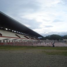
Joaquin F. Enriquez Memorial Stadium
126.6 km
Jolo Cathedral
44.8 km
Tamontaka Church
339.4 km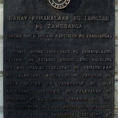
Zamboanga City Hall historical marker
126.9 km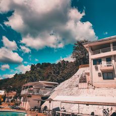
Alindahaw Lakeview Resort
286.9 km
Pagadian Cathedral
304.7 km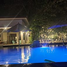
Donel's Beach Resort
315 km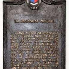
Taluksangay Mosque historical marker
138.1 km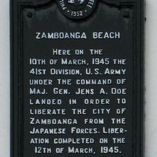
Zamboanga Beach historical marker
125.1 km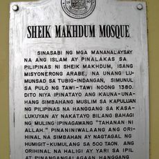
Sheik Karimol Makhdum Mosque
210.1 km
Sheik Makhdum Mosque historical marker
210.1 km
Immaculate Conception Church of Tamontaka historical marker
339.5 km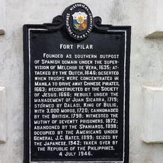
Fort Pilar historical marker
127 km
Monte Verde Resort
139.1 km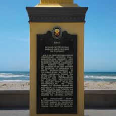
Kipit quincentennial historical marker
261.4 km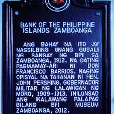
Bank of the Philippine Islands Zamboanga historical marker
126.9 km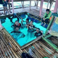
Wasag Beach
306.9 km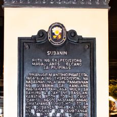
Subanin quincentennial historical marker
126.5 km
Del Monte Public Swimming Pool
261.7 kmReviews
Visited this place? Tap the stars to rate it and share your experience / photos with the community! Try now! You can cancel it anytime.
Discover hidden gems everywhere you go!
From secret cafés to breathtaking viewpoints, skip the crowded tourist spots and find places that match your style. Our app makes it easy with voice search, smart filtering, route optimization, and insider tips from travelers worldwide. Download now for the complete mobile experience.

A unique approach to discovering new places❞
— Le Figaro
All the places worth exploring❞
— France Info
A tailor-made excursion in just a few clicks❞
— 20 Minutes