Samal, Administrative division in Davao Region, Philippines
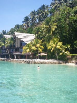
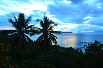
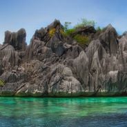
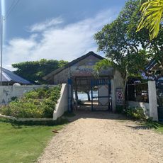
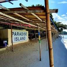
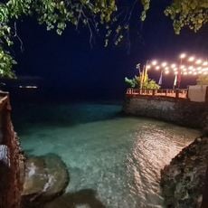
Samal sits on two islands, Samal Island and Talikud Island, forming a fourth-class component city in Davao del Norte province. A narrow strait separates the two landmasses, while the entire area features tropical vegetation and many coastal stretches.
The municipality was founded on July 8, 1948, and gained city status in 1998 through Republic Act No. 8471. This elevation brought greater local governance and new responsibilities in the region.
The name comes from the Sama-Bajau people, the first settlers who shaped island life through their seafaring ways. Their connection to the ocean still shows in fishing villages and coastal settlements.
Ferries and barges run regularly between the islands and Davao City, offering the main access route. Motorcycle taxis operate locally and are the usual way to travel between coastal settlements.
The city divides into three districts: Babak, Kaputian, and Peñaplata, each with its own local offices and community centers. This structure helps manage governance across the scattered island areas.
Location: Davao del Norte
Inception: August 1, 1948
Elevation above the sea: 32 m
Part of: Metro Davao
Shares border with: Davao City
Address: Samal Island, Island Garden City of Samal, Philippines
Website: http://samalcity.gov.ph
GPS coordinates: 7.05000,125.73333
Latest update: December 5, 2025 16:37
The Philippines is an archipelago where nature shows off in every direction. Each island has its own character. You can find white sandy beaches that stretch for kilometers, coral reefs teeming with colorful fish, and lagoons where the water is so transparent you can see straight to the bottom. The...
Mount Apo
51.6 km
San Pedro Cathedral
13.8 km
Monfort Bat Sanctuary
13.5 km
Epol Falls
70.8 km
Davao River Bridge
16.6 km
Mati Protected Landscape
48.8 km
Mount Apo Natural Park
48.4 km
Secdea Beach Resort Reception Area
14.2 km
D' Bone Collector Museum
13.4 km
Mount Hamiguitan Range Wildlife Sanctuary
60.4 km
Museo Dabawenyo
15.4 km
Tagum Cathedral
44.2 km
Mount Hamiguitan
60.4 km
Tagbibinta Falls
56.8 km
Davao City Hall historical marker
13.9 km
Bamboo Garden Resort
68.1 km
Tagum Historical & Cultural Center
45 km
Andres Bonifacio historical marker
26.3 km
Davao Museum of History and Ethnography
11.4 km
Ohta Kyozaburo historical marker
26.2 km
Baywalk
54.6 km
Museyo Kutawato
84.3 km
Energy Park
42 km
Talisay Beach
38.3 km
Port Sta. Ana historical marker
12.2 km
Buhangin Memorial Park
15.1 km
Pujada Bay Protected Seascape
60.6 km
Balnunto Falls
87.1 kmVisited this place? Tap the stars to rate it and share your experience / photos with the community! Try now! You can cancel it anytime.
Discover hidden gems everywhere you go!
From secret cafés to breathtaking viewpoints, skip the crowded tourist spots and find places that match your style. Our app makes it easy with voice search, smart filtering, route optimization, and insider tips from travelers worldwide. Download now for the complete mobile experience.
A unique approach to discovering new places❞
— Le Figaro
All the places worth exploring❞
— France Info
A tailor-made excursion in just a few clicks❞
— 20 Minutes