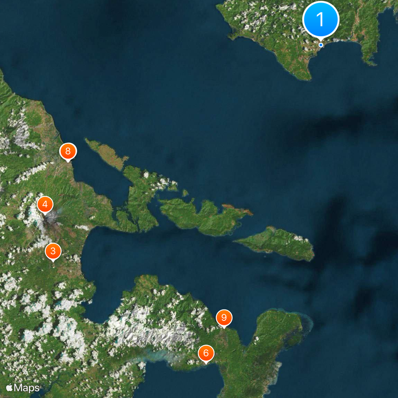
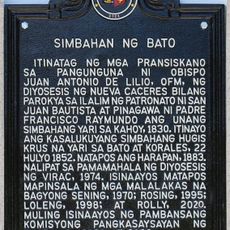
Virac, municipality of the Philippines and capital of the province of Catanduanes
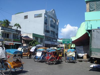
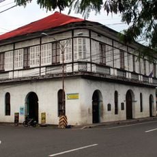
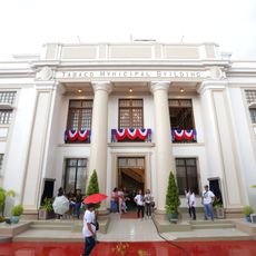
Virac is a municipality on the island of Catanduanes, in the eastern Philippines, and serves as the capital of the province with the same name. Its town center sits near the port and contains the main government buildings, a public market, and basic commercial shops.
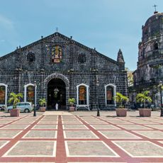
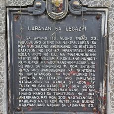
Virac was established during the Spanish colonial period and gradually became the main administrative center for the island. When the province of Catanduanes was formally created in the 20th century, it became the official provincial capital.
The name Virac comes from the local Bicolano language spoken across the island. The central market draws vendors, fishers, and farmers from the surrounding barangays, giving the town its daily rhythm.
Virac is accessible by ferry from the Bicol peninsula on the mainland, though crossings can be suspended during bad weather or typhoons. Most services for travelers are gathered around the town center, near the public market.
Catanduanes is known as one of the areas in the Philippines most frequently hit by typhoons, sitting directly in the path of storms crossing the western Pacific. This means Virac, as provincial capital, has had to rebuild and adapt more than most towns of its size.
The community of curious travelers
AroundUs brings together thousands of curated places, local tips, and hidden gems, enriched daily by 60,000 contributors worldwide.