
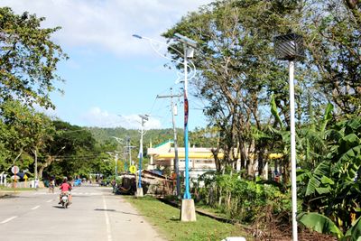
Balatan, municipality of the Philippines in the province of Camarines Sur
Location: Camarines Sur
Elevation above the sea: 71 m
Shares border with: Bato
GPS coordinates: 13.31667,123.23333
Latest update: March 7, 2025 20:28
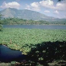
Mount Iriga
28.7 km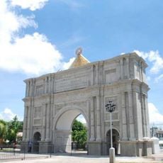
Porta Mariae
35 km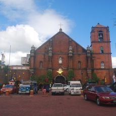
Nabua Church
18.2 km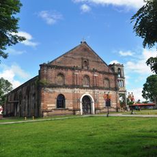
Saint Anthony of Padua Parish Church
34.6 km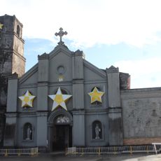
Buhi Church
33.3 km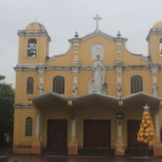
Baao Church
21 km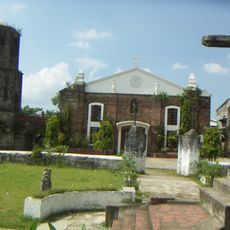
Saint Joseph the Worker Parish Church
31.7 km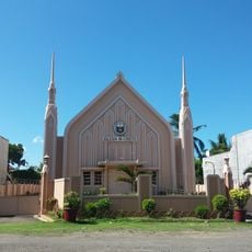
Iglesia ni Cristo chapel, Nabua, Bicol
18.3 km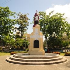
Jorge Barlin é Imperial historical marker
21 km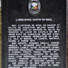
Fifteen Martyrs of Bicol historical marker
34.6 km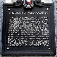
University of Nueva Caceres historical marker
34.7 km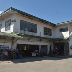
Philtranco Transport Heritage Museum
23.3 km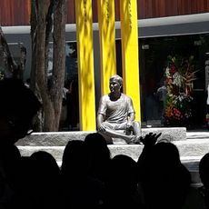
Jesse Robredo Museum
34.9 km
Jorge Barlin Monument
21 km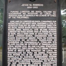
Jesse M. Robredo historical marker
34.9 km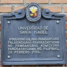
Universidad de Santa Isabel historical marker
35 km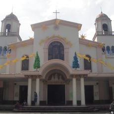
Iriga Church
22.6 km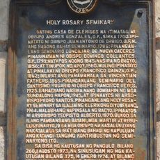
Holy Rosary Seminary historical marker
35 km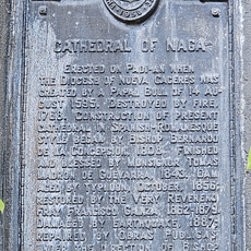
Cathedral of Naga historical marker
35 km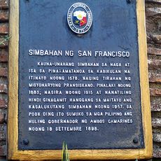
Church of San Francisco historical marker
34.6 km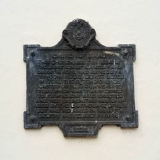
Church of Baao historical marker
21 km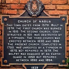
Church of Nabua historical marker
18.2 km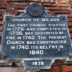
Church of Milaor historical marker
31.7 km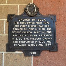
Church of Bula historical marker
17.6 km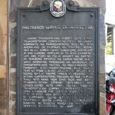
Philtranco Service Enterprises, Inc. historical marker
23.3 km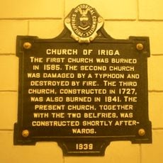
Church of Iriga historical marker
22.6 km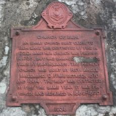
Church of Buhi historical marker
33.4 km
Pamplona Park
34.7 kmReviews
Visited this place? Tap the stars to rate it and share your experience / photos with the community! Try now! You can cancel it anytime.
Discover hidden gems everywhere you go!
From secret cafés to breathtaking viewpoints, skip the crowded tourist spots and find places that match your style. Our app makes it easy with voice search, smart filtering, route optimization, and insider tips from travelers worldwide. Download now for the complete mobile experience.

A unique approach to discovering new places❞
— Le Figaro
All the places worth exploring❞
— France Info
A tailor-made excursion in just a few clicks❞
— 20 Minutes