Chest opened
+${chestReward.xp} XP
Explorer
NOUVEAU ×${chestReward.collectible.quantity}
tapez pour fermer
Chest locked

Open chests in the app

Around Us is built for your phone — chests unlock when you walk, explore and capture nearby places.

Enable Location

We need your location to show you interesting places around you

Discover nearby places

Find interesting locations and hidden gems around you

Precise directions

Get accurate directions and distances to places

Your location is never shared with other users. It's only used when you tap the location button.

Mount Macolod

Log in to your account

Start exploring — it's free

Trusted by 72,969 travelers worldwide

Continue with Google
Continue with Apple
or

We will send you a code to connect

By continuing, you accept our Terms and Conditions and our Privacy Policy

Check your inbox

We've sent a pincode in your inbox. Please enter the code below.

Mount Macolod
Discussion Reviews 1 Photos
10.3k Popularity

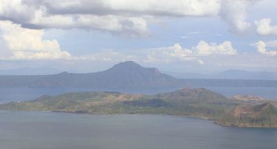
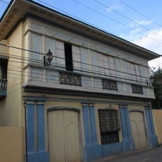
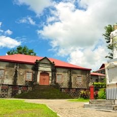
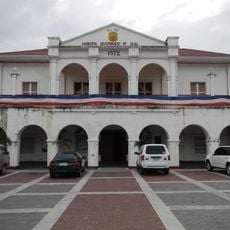
Mount Macolod, Mountain summit in Cuenca, Batangas, Philippines.

Mount Macolod is a mountain in Cuenca, Batangas, Philippines, sitting on the southern rim of Taal Caldera and reaching about 947 meters above sea level. Along its flank runs a large volcanic rock wall locally known as "The Rockies," which rises roughly 700 meters and is one of the most visible features of the climb.

The mountain formed more than 140,000 years ago through volcanic activity as part of the processes that created Taal Caldera. That same volcanic past continues to shape the landscape today, leaving behind rock formations that are still visible across the southern rim.

During Holy Week, thousands of people climb to the summit as part of a religious pilgrimage, praying and doing penance along the way. This tradition is deeply rooted in the lives of nearby communities and draws faithful visitors from far away.

The main trail starts from the town center of Cuenca and can be hard to follow without someone who knows the route. Connecting with a local guide or a mountaineering group before heading out is a good way to plan the ascent safely.

The rock wall known as "The Rockies" was shaped not by a single eruption but by slow erosion that gradually exposed layers of hardened volcanic material over a very long period. The result looks more like a fortress wall than a natural hillside, which often surprises first-time visitors.

The community of curious travelers

AroundUs brings together thousands of curated places, local tips, and hidden gems, enriched daily by 60,000 contributors worldwide.

Start exploring
Elevation above the sea
947 m
GPS coordinates
13.91667,121.05000
Latest update
March 3, 2026 10:12
Reviews
Share your experience

No review yet

Discussions
Start a discussion...

No discussion yet

« Mount Macolod - Mountain summit in Cuenca, Batangas, Philippines » is provided by Around Us (aroundus.com). Images and texts are derived from Wikimedia project under a Creative Commons license. You are allowed to copy, distribute, and modify copies of this page, under the conditions set by the license, as long as this note is clearly visible.

Discover hidden gems everywhere you go!

From secret cafés to breathtaking viewpoints, skip the crowded tourist spots and find places that match your style. Our app makes it easy with voice search, smart filtering, route optimization, and insider tips from travelers worldwide. Download now for the complete mobile experience.

Around Us App Screenshot

A unique approach to discovering new places

Le Figaro

All the places worth exploring

France Info

A tailor-made excursion in just a few clicks

20 Minutes

Around Us
Travel Guide & Maps
Download

Send to your phone

QR Code
1

Open the camera app on your mobile.

2

Point at the QR code with your camera. A notification will appear.

3

Tap the notification to open the link.