Gilgit, Mountain city in Gilgit-Baltistan, Pakistan
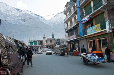
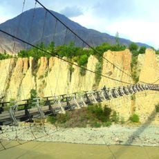
This settlement lies at 1500 meters (4900 feet) elevation where the Gilgit and Hunza rivers meet, surrounded by Karakoram peaks. The streets run through a narrow valley, where merchant quarters and residential neighborhoods are squeezed between steep rock faces.
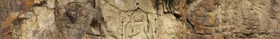
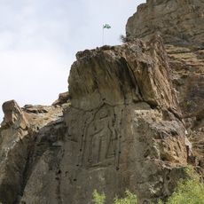
Buddhist manuscripts discovered in 1931 revealed the importance as a religious center in ancient times, and these texts are now kept in British and Indian archives. The position at the junction of old trade routes brought Persian, Chinese, and Indian influences together over centuries.
The name comes from the Shina word Ghallít, which has described this mountain settlement for centuries. At the bazaars, traders exchange dried apricots and walnuts with travelers while residents in the surrounding villages tend walnut groves.
The Karakoram Highway links this place to larger Pakistani destinations, while the local airport offers direct flights to Islamabad during good weather. Shops and teahouses close Friday afternoons for prayer and reopen later in the day.
The rivers carry differently colored sediment, so you can see a visible line between gray and brown water at their junction. This natural view changes with the season and snowmelt from the surrounding mountains.
The community of curious travelers
AroundUs brings together thousands of curated places, local tips, and hidden gems, enriched daily by 60,000 contributors worldwide.