Iran–Pakistan border, International border between Iran and Pakistan, Middle East.
The Iran-Pakistan border is an international land boundary extending roughly 900 kilometers across desert terrain and mountain ranges. It runs from the Gulf of Oman in the south to the tripoint with Afghanistan in the north, with four official crossing points handling commercial and personal travel.
The boundary emerged from 19th-century treaties between Persia and British India, taking its final form after Pakistan's independence in 1947. This demarcation reflected European colonial interests and the partition of the Indian subcontinent in the post-war period.
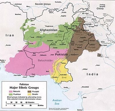
The border area cuts through traditional Baloch lands, where communities maintain family and trade connections across both sides despite political divisions. The shared language, customs, and economic activities of local populations reflect how national boundaries do not erase deeper cultural ties.
Travelers should note that crossing points have varying conditions and not all are open at all times. It is advisable to check current conditions and required documentation before planning any crossing.
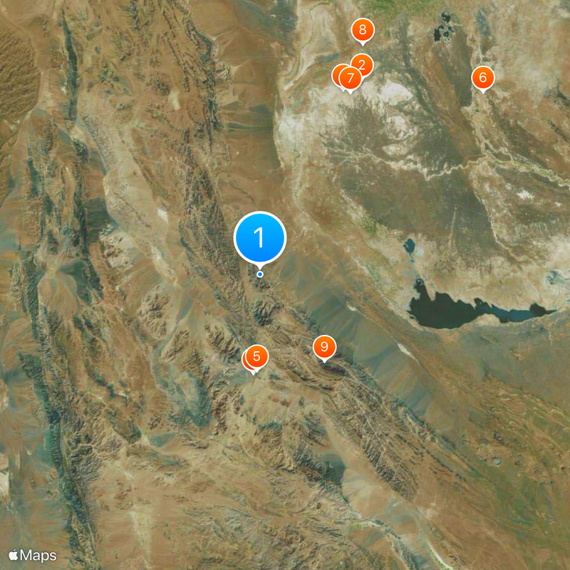
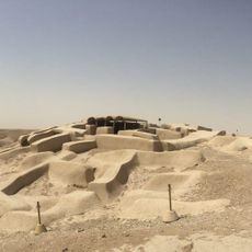
Different sections feature varying security infrastructure including concrete barriers, surveillance systems, and earth embankments adapted to the terrain. These structures reflect the distinct security priorities and geographical challenges along different portions of the boundary.
The community of curious travelers
AroundUs brings together thousands of curated places, local tips, and hidden gems, enriched daily by 60,000 contributors worldwide.