Czarnków, Urban municipality in Greater Poland Voivodeship, Poland
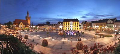
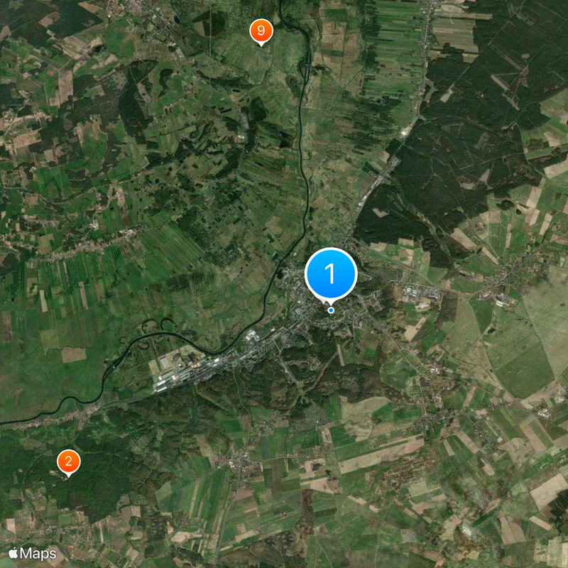
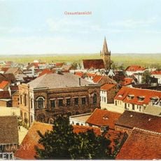
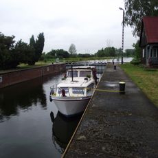
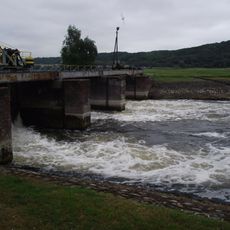
Czarnków is an urban municipality in the northwestern part of Greater Poland Voivodeship, spreading along the Noteć River and its surrounding terrain. The town functions as the administrative center for Czarnków-Trzcianka County and sits within a landscape marked by rolling hills.
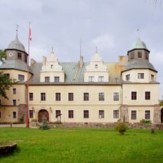
The settlement was founded in the 10th century as a stronghold established by Mieszko I in this strategic location. Over time, it evolved into an important point for trade and administration between Poznań and the territories to the north.
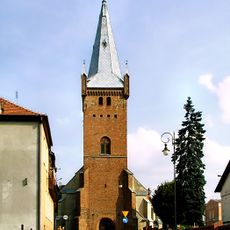
The Gothic church dedicated to Saint Mary Magdalene dominates the town center with its medieval architecture and draws those interested in religious sites. It reflects the deep Catholic tradition that remains woven into daily community life.
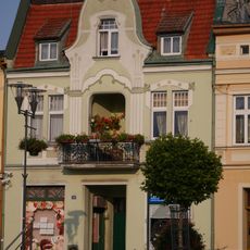
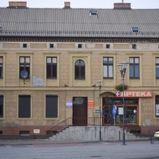
The town sits roughly 60 kilometers northwest of Poznań and is accessible by car or public transportation from the regional center. Visitors will find basic services and amenities throughout the town that make exploring the area straightforward.
The hilly landscape surrounding the town earned the region a distinctive nickname: Szwajcaria Czarnkowska, which translates as the Switzerland of Czarnków. This name refers to the noticeable elevation changes and natural formations that resemble alpine scenery.
The community of curious travelers
AroundUs brings together thousands of curated places, local tips, and hidden gems, enriched daily by 60,000 contributors worldwide.