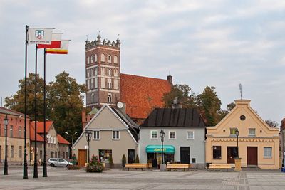
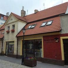
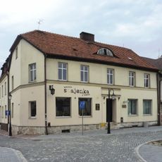
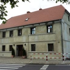
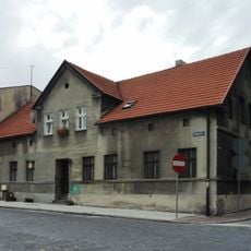
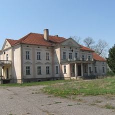
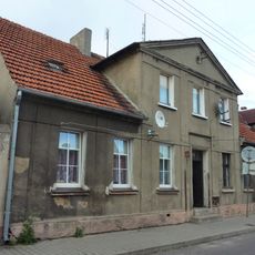
Środa Wielkopolska, Administrative center in Greater Poland Voivodeship, Poland
Środa Wielkopolska is a city in Greater Poland Voivodeship situated southeast of Poznań in a rural region. The town occupies a modest area with the typical layout of a regional administrative center.
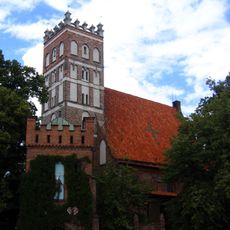
The settlement received town rights between 1253 and 1261 under Magdeburg law and later became a royal town of the Polish Crown in the Kalisz Voivodeship. This status elevated it to an important center in the region.
The town served as a gathering place for regional parliaments of both the Kalisz and Poznań voivodeships starting in the 1454. This role made it a political hub where representatives met to conduct local governance.
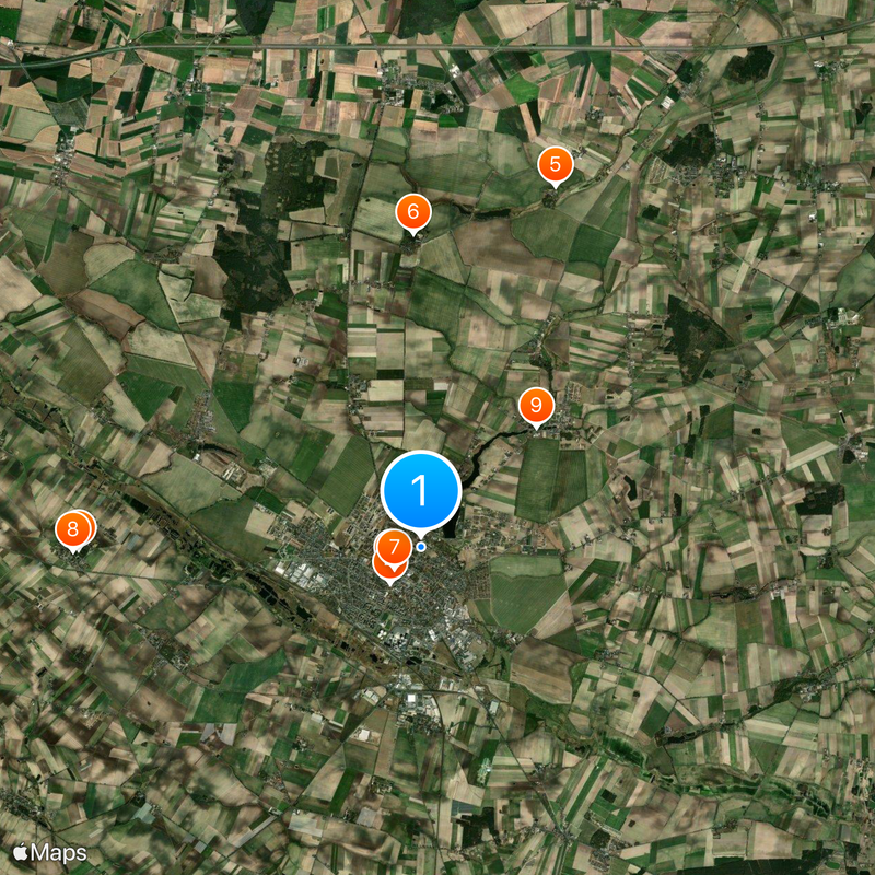
The town connects to the main railway line between Poznań and Katowice, providing regular train service to other cities. This connection makes it easy to reach from nearby urban centers.
A narrow-gauge railway connects the town to the nearby village of Zaniemyśl and operates with historic steam locomotives. This vintage rail line appeals to railway enthusiasts visiting the area.
The community of curious travelers
AroundUs brings together thousands of curated places, local tips, and hidden gems, enriched daily by 60,000 contributors worldwide.