Tarnobrzeg, Historic city in Subcarpathian Voivodeship, Poland
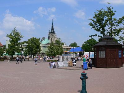
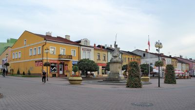
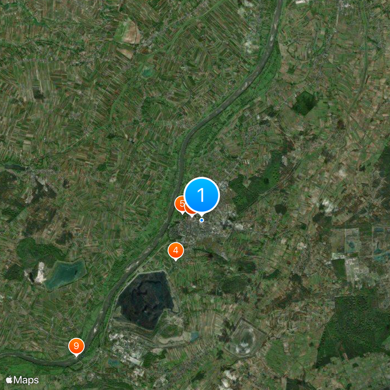
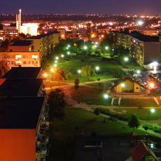
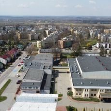
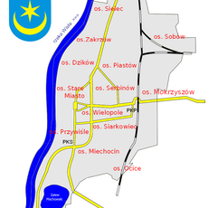
Tarnobrzeg sits on the eastern shore of the Vistula River and spreads across several districts such as Wielowieś, Sielec, and Chwałki, connected by bridges and wide avenues. The city combines older quarters with low brick houses and church spires alongside newer residential areas that grew during the industrial era.
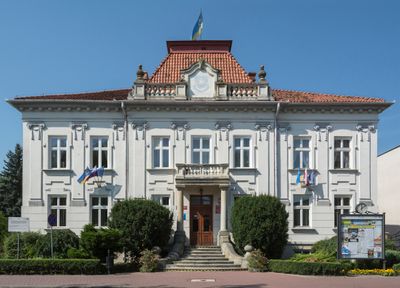
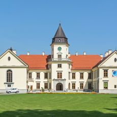
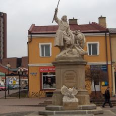
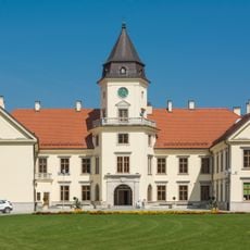
King Sigismund III Vasa granted the settlement Magdeburg rights in 1593 and made it the residence of the Tarnowski family, who ruled here for over two centuries. The discovery of sulfur deposits in the 1950s changed the economy fundamentally and turned the city into a mining center until the mines closed in the 1990s.
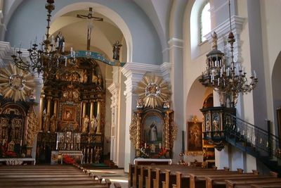
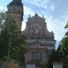
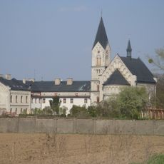
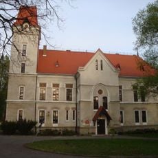
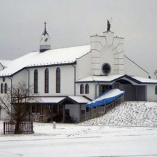
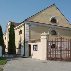
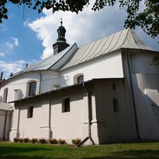
The Dominican church and its adjoining monastery from the 17th century serve today as a spiritual center for the city and draw visitors who come to see its baroque altars and wall paintings. Dzików Castle with its extensive park remains a popular spot for walks and weddings, linking the aristocratic past with present-day city life.
National Road 9 and several railway connections link the city directly with other places in southeastern Poland and make arrival and departure straightforward. The center can be explored comfortably on foot, while a local bus serves the more distant districts and the park by the former mining lake.
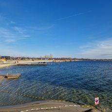
The abandoned sulfur mines were converted into lakes and green spaces that are now used for swimming and fishing, creating a rare connection between industrial heritage and leisure use. Along the shores of these lakes, reeds and willows grow, attracting birds and giving the impression of a natural landscape even though they formed only a few decades ago.
The community of curious travelers
AroundUs brings together thousands of curated places, local tips, and hidden gems, enriched daily by 60,000 contributors worldwide.