Biała Podlaska, Regional administrative center in eastern Lublin Voivodeship, Poland
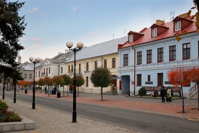
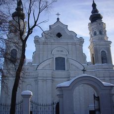
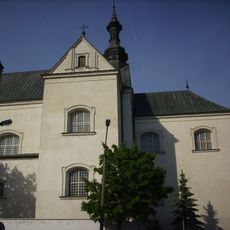
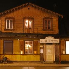
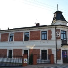
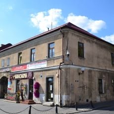
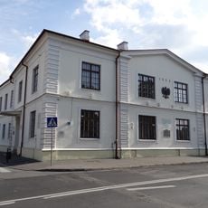
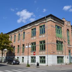
Biała Podlaska is a mid-sized city in eastern Lublin Voivodeship that stretches along the Krzna River valley with residential districts from different periods. The center displays a mix of old brick buildings and concrete blocks constructed after World War Two.
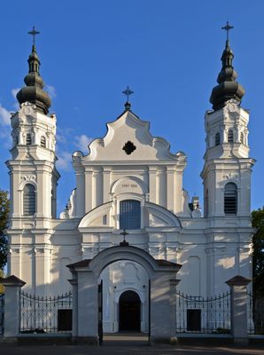
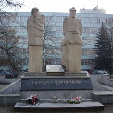
A settlement emerged here during the Middle Ages that later came under the control of the Radziwiłł family and grew into a trading hub between Warsaw and the eastern territories. After the Third Partition of Poland the city passed to Russia, then Germany, then Poland again, with each era leaving its mark.
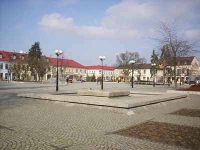
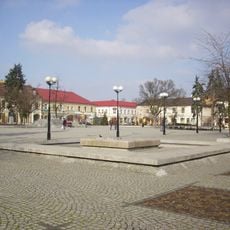
Residents visit the market square weekly where local vendors sell produce from nearby farms and handmade goods from the surrounding countryside. The square fills with families and elderly residents who gather after church services to chat and exchange news.
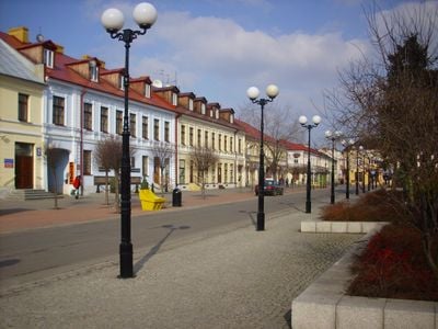
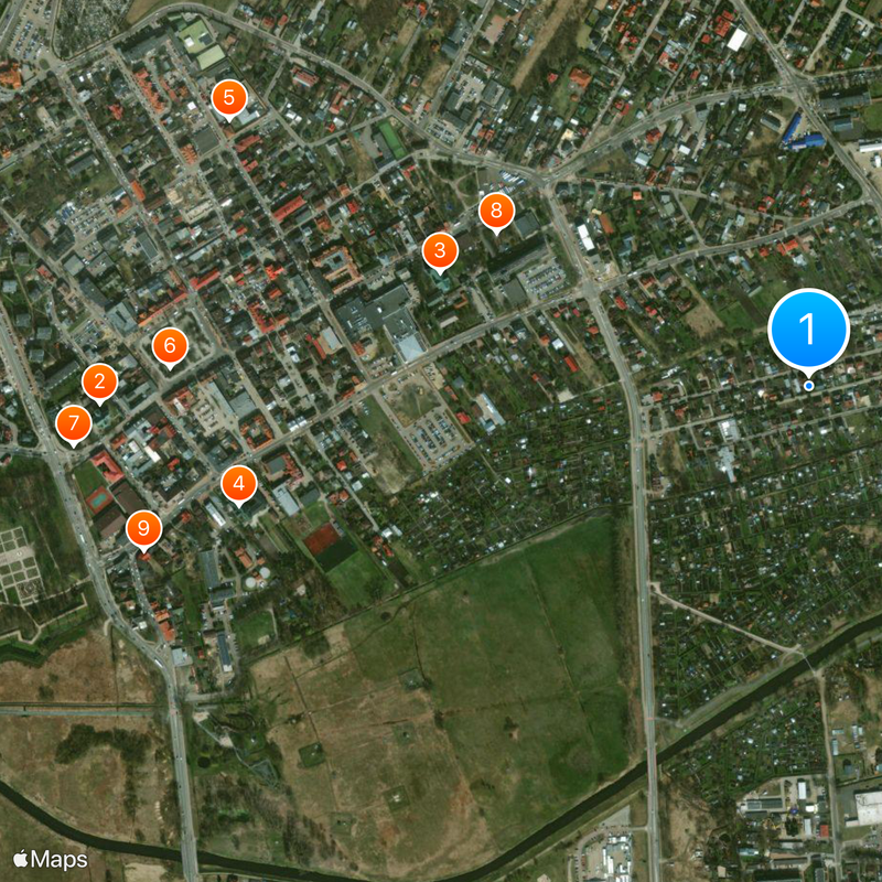
Visitors can find bus stops throughout the city that provide direct access to most points of interest. Streets in the center are mostly flat and easy to walk, while outlying districts are best reached by public transport.
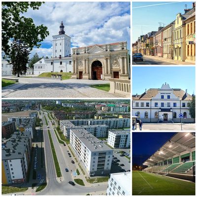
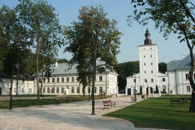
The remaining towers of the old fortress stand today in the middle of a public park where locals walk and children play. Few visitors notice these ruins were once part of a larger castle complex that overlooked the entire quarter.
Location: Lublin Voivodeship
Inception: 1345
Elevation above the sea: 142 m
Website: https://bialapodlaska.pl
GPS coordinates: 52.03333,23.13333
Latest update: December 12, 2025 23:46
St. Anne's Church, Biała Podlaska
1.1 km
Church of the Nativity of the Virgin Mary in Biała Podlaska
590 m
Saint Anthony church in Biała Podlaska
891 mZakład Karny w Białej Podlaskiej
975 m
Józef Ignacy Kraszewski Bench in Biała Podlaska
978 m
Pomnik św. Michała Archanioła w Białej Podlaskiej
1.1 km
Pomnik Pamięci Sybiraków w Białej Podlaskiej
531 m
Galeria Ulica Krzywa
1 km
8 Narutowicza Street in Biała Podlaska
1.1 km
Memorial of Biała Podlaska Voivodeship
408 m
Cmentarz unicki
459 m
Kapliczka
458 m
Zespół cmentarza unickiego
459 m
19 Narutowicza Street in Biała Podlaska
1.1 km
Magistrate in Biała Podlaska
1 km
Zespół domu zajezdnego
971 m
Dom zajezdny
972 m
Układ urbanistyczny – sieć ulic i placów, skala zabudowy miejskiej, założenie zamkowo-obronne, historyczna panorama miasta
969 mWozownia
981 m
Zespół klasztorny reformatów, poł. XVII
900 m
Klasztor, ob. szkoła, k. XVII
858 m
Akademia Bialska w Białej Podlaskiej
1.1 km
Sąd
747 mStajnia
999 m
Ogrodzenie z bramą
916 mAir trail
1 kmCałuśny kącik
1.1 kmPodlaska wytwórnia samolotów 1923-1939
1.1 kmVisited this place? Tap the stars to rate it and share your experience / photos with the community! Try now! You can cancel it anytime.
Discover hidden gems everywhere you go!
From secret cafés to breathtaking viewpoints, skip the crowded tourist spots and find places that match your style. Our app makes it easy with voice search, smart filtering, route optimization, and insider tips from travelers worldwide. Download now for the complete mobile experience.
A unique approach to discovering new places❞
— Le Figaro
All the places worth exploring❞
— France Info
A tailor-made excursion in just a few clicks❞
— 20 Minutes