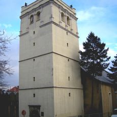
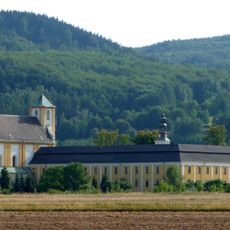
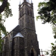
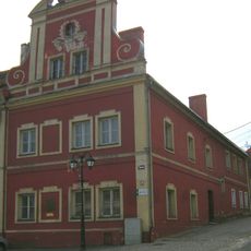
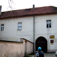
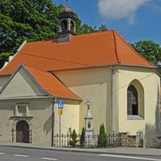
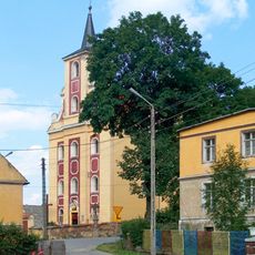
Złoty Stok, Mining town in Lower Silesian Voivodeship, Poland.
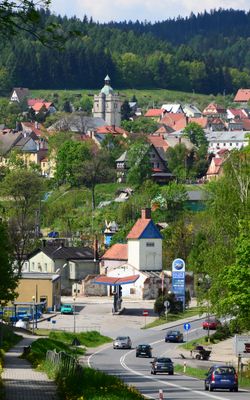
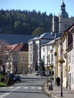
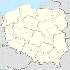
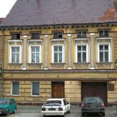
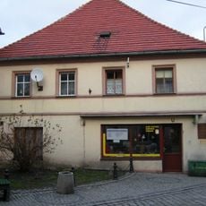
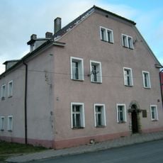
Złoty Stok is a town situated in a valley at approximately 348 meters elevation near the Czech border, surrounded by the Rychleby Mountains. The settlement spreads across the terrain in a way that reflects its deep connection to the surrounding landscape and mining history.
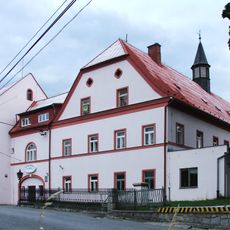
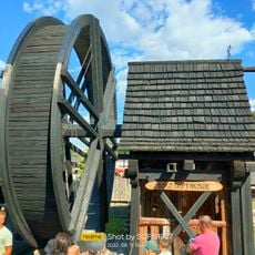
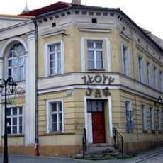
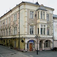
The settlement received town status during the Middle Ages and grew into a major gold mining hub, with around 150 active mines operating by the 1500s. Mining remained the economic foundation for generations until operations ceased in 1962.
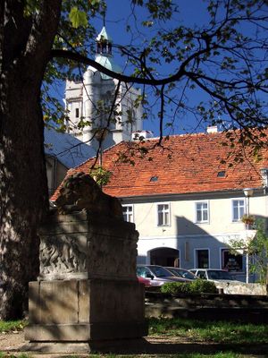
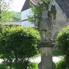
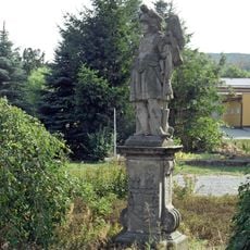
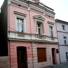
The name means 'golden deposit' and reflects the deep mining heritage that shaped this place for centuries. Visitors today can see how this tradition still influences the local landscape and the way people relate to their surroundings.
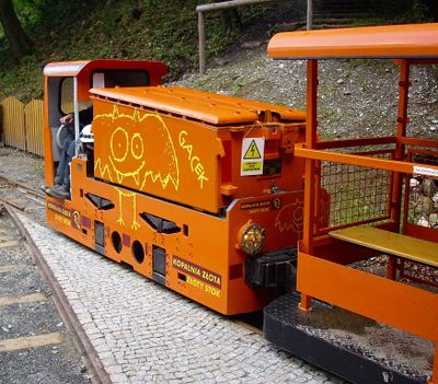
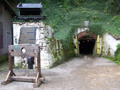
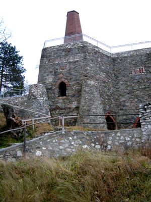
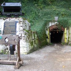
Visitors can join guided tours through two main tunnels featuring an underground waterfall about 8 meters tall. The tours require reasonable fitness as the tunnels remain cool year-round and the pathways are uneven underfoot.
The Gertrude Adit, a 500-meter underground passage, holds geological maps, historic mining tools, and a mineral collection gathered from different parts of the world. This assembly reveals how mining knowledge and discoveries traveled from distant regions to this single location.
The community of curious travelers
AroundUs brings together thousands of curated places, local tips, and hidden gems, enriched daily by 60,000 contributors worldwide.