Jędrzejów, Administrative center in Świętokrzyskie Voivodeship, Poland
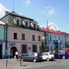
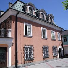
Jędrzejów is a city located in south-central Poland, roughly 36 kilometers southwest of the regional capital Kielce. It developed around a Cistercian monastery and remains a functioning regional administrative center with its own identity and character.
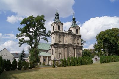
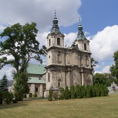
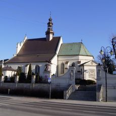
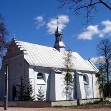
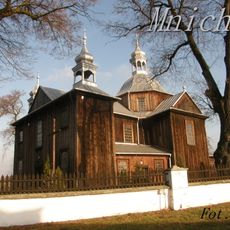
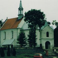
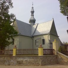
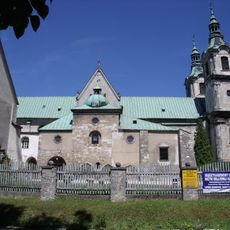
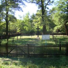
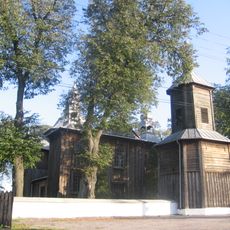
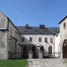
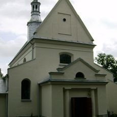
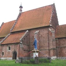
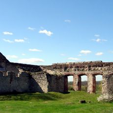
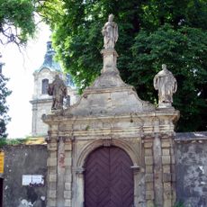
The settlement was originally called Brzeznica and received town rights in 1271 from Duke Bolesław V the Chaste. A Cistercian monastery founded in 1153 shaped its early development and left a lasting mark on the region.
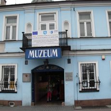
The Przypkowscy Clock Museum here houses thousands of sundials and timepieces spanning different periods, showing how people measured time across centuries. The collection reflects local pride in preserving these objects of everyday life and craftsmanship.
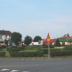
The city is easily accessible by car or bus and sits roughly midway between several larger Polish cities. Visitors can explore the town on foot and find standard amenities and services available.
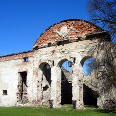
The city was once an important industrial center with a cement factory that has operated since the late 18th century. A historic brewery from the same era also shaped economic life and left visible marks on the town.
Location: Gmina Jędrzejów
Website: http://umjedrzejow.pl
GPS coordinates: 50.63333,20.30000
Latest update: December 6, 2025 21:30
Jędrzejów Abbey
557 m
Przypkowscy Clock Museum
685 m
Mokrsko Górne Castle
11.8 km
Holy Trinity church in Jędrzejów
1 km
Kościół św. Mikołaja w Imielnie
11.6 km
Jewish cemetery in Jędrzejów
1.3 km
Mokrsko Dolne Church
11 km
Kościół św. Prokopa, lata 1531-1542
10.3 km
Church of Saint Stephen in Mnichów
8.6 km
Saints Peter and Paul church in Piotrkowice
12.9 km
Brama wjazdowa (wschodni budynek bramny), lata 1560-1570
13 km
Church of Saint Martin in Cierno-Żabieniec
8.4 km
Cistersian Monastery in Jędrzejów
2.5 km
World War I cemetery in Motkowice
12 km
House at 8 Rynek, Jędrzejów
704 m
Zespół kościoła św. Szczepana, lata 1765-1770
8.6 km
Cistercian Abbey in Jędrzejów
2.5 km
House at 7 Rynek, Jędrzejów
700 m
Zespół kościoła św. Mikołaja w Imielnie
11.5 km
Ruiny pałacu w Sobkowie
13.1 km
Saint Procopius church in Krzcięcice
10.3 km
Zespół pałacowy z fortalicją, poł. XVI
13 km
Dzwonnica w Krzcięcicach
10.3 km
Układ urbanistyczny śródmieścia
753 m
Dzwonnica, poł. XVIII w.
2.5 km
Brama klasztoru
2.5 km
Dzwonnica w Imielnie
11.6 km
Dzwonnica, lata 1765-1770
8.6 kmVisited this place? Tap the stars to rate it and share your experience / photos with the community! Try now! You can cancel it anytime.
Discover hidden gems everywhere you go!
From secret cafés to breathtaking viewpoints, skip the crowded tourist spots and find places that match your style. Our app makes it easy with voice search, smart filtering, route optimization, and insider tips from travelers worldwide. Download now for the complete mobile experience.
A unique approach to discovering new places❞
— Le Figaro
All the places worth exploring❞
— France Info
A tailor-made excursion in just a few clicks❞
— 20 Minutes