Enable Location

We need your location to show you interesting places around you

Discover nearby places

Find interesting locations and hidden gems around you

Precise directions

Get accurate directions and distances to places

Your location is never shared with other users. It's only used when you tap the location button.

Gmina Warlubie

Log in to your account

Start exploring — it's free

Trusted by 63,422 travelers worldwide

Continue with Google
Continue with Apple
or

We will send you a code to connect

By continuing, you accept our Terms and Conditions and our Privacy Policy

Check your inbox

We've sent a pincode in your inbox. Please enter the code below.

Discussion Reviews 1 Photos
4.9k Popularity

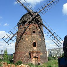
Gmina Warlubie, Administrative district in Świecie County, Poland.

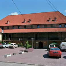
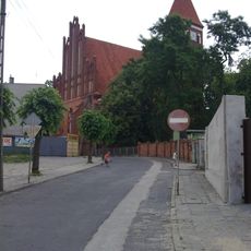
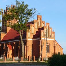
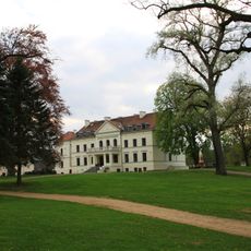
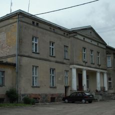
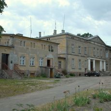
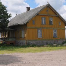
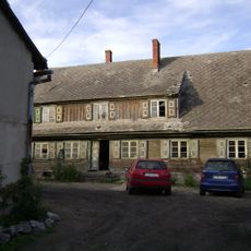
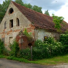
Gmina Warlubie is a rural municipality in Świecie County within the Kuyavian-Pomeranian Voivodeship, comprising several villages spread across farmland and natural areas. The administrative center sits in Warlubie village, which serves as the main hub for the district.

This region came under Prussian control during the First Partition of Poland in 1772 and returned to Polish authority in 1919. It subsequently endured German occupation from 1939 to 1945 during World War II.

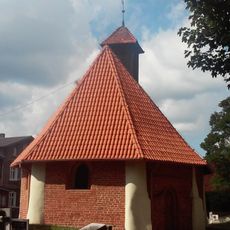
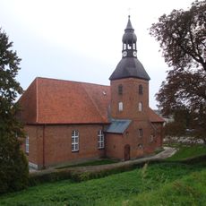
The administrative district includes nine principal villages with schulzenamt status: Bąkowo, Buśnia, Bzowo, Krusze, Lipinki, Płochocin, Płochocinek, Warlubie, and Wielki Komorsk.

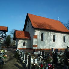
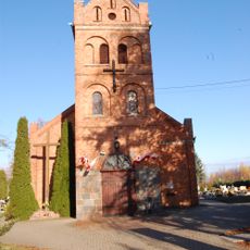
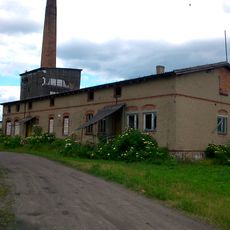
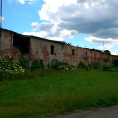
The territory is relatively sparsely populated and offers a predominantly rural setting with fields and small villages. Visiting in the warmer months works best, when roads are in good condition and the countryside looks most inviting.

The Wda Landscape Park extends partially across this territory, creating a green corridor with river landscapes and woodlands that interrupt the typical farmland. This mix makes the area interesting for those curious about natural spaces woven into working countryside.

The community of curious travelers

AroundUs brings together thousands of curated places, local tips, and hidden gems, enriched daily by 60,000 contributors worldwide.

Start exploring
Location
Shares border with
Gmina Dragacz, Gmina Jeżewo, Gmina Nowe, Gmina Osie, Gmina Osiek
GPS coordinates
53.58806,18.62583
Latest update
December 10, 2025 20:02
Reviews
Share your experience

No review yet

Discussions
Start a discussion...

No discussion yet

« Gmina Warlubie - Administrative district in Świecie County, Poland » is provided by Around Us (aroundus.com). Images and texts are derived from Wikimedia project under a Creative Commons license. You are allowed to copy, distribute, and modify copies of this page, under the conditions set by the license, as long as this note is clearly visible.

Discover hidden gems everywhere you go!

From secret cafés to breathtaking viewpoints, skip the crowded tourist spots and find places that match your style. Our app makes it easy with voice search, smart filtering, route optimization, and insider tips from travelers worldwide. Download now for the complete mobile experience.

Around Us App Screenshot

A unique approach to discovering new places

Le Figaro

All the places worth exploring

France Info

A tailor-made excursion in just a few clicks

20 Minutes

Around Us
Travel Guide & Maps
Download

Send to your phone

QR Code
1

Open the camera app on your mobile.

2

Point at the QR code with your camera. A notification will appear.

3

Tap the notification to open the link.