Bogatynia, Border town in Lower Silesian Voivodeship, Poland
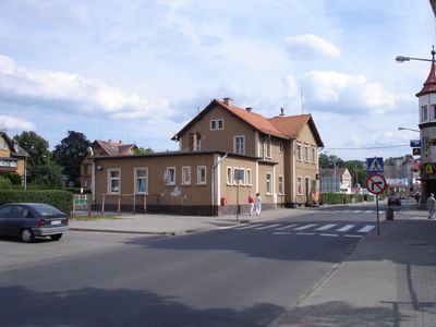
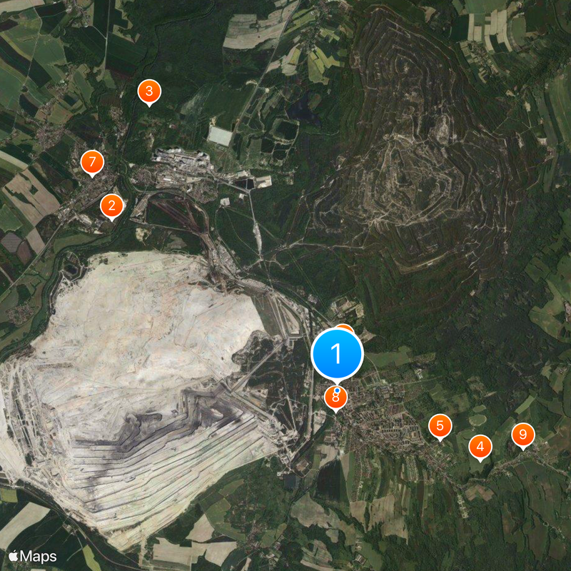
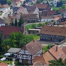
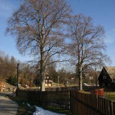
Bogatynia is a town in Lower Silesian Voivodeship situated on a narrow strip of land between Germany and the Czech Republic, forming a panhandle shape. The area sits at about 245 meters above sea level and stretches along a north-south corridor.
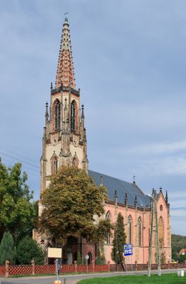
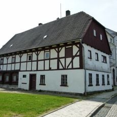
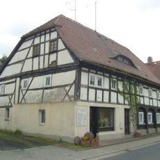
The settlement was founded in the 13th century and was originally known as Richnow, a name reflecting its location along important trade routes. Over the centuries, the area was shaped by various conflicts and changes in control.
The Koziolek Matolek Tournament of Liars is an annual event where residents and visitors compete by telling humorous and fictional stories. The competition has become a local tradition that reflects the playful spirit and creativity of the community.
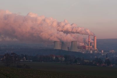
The town is shaped by two major employers: the Turów Coal Mine and the Turów Power Station, which together provide hundreds of jobs. Visiting is easiest by car or train, and the proximity to the border allows for convenient access.
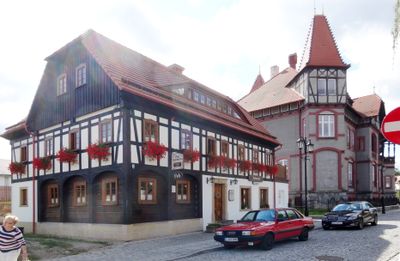
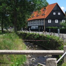
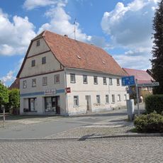
A 2010 flood in the Miedzianka stream led to extensive reconstruction in the town center and reshaped much of the place. The rebuilding efforts renewed many buildings and infrastructure throughout the area.
Location: Gmina Bogatynia
Elevation above the sea: 245 m
Shares border with: Kunratice, Heřmanice, Zittau, Hrádek nad Nisou, Chrastava, Višňová
Website: http://bogatynia.pl
GPS coordinates: 50.90750,14.95389
Latest update: December 14, 2025 20:40
Kraftwerk Hirschfelde
5.5 km
Castle of Ronow
6.7 km
Koło Obserwatora
3.1 kmPalace in Bogatynia
2.2 km
Immaculate Conception church in Bogatynia
808 m
Komturgasse 9
6.4 km
Saints Peter and Paul church in Bogatynia
403 m
Heřmanice - dům čp. 77
3.8 kmKościół św. Marii Magdaleny w Bogatyni
4.5 km
Heřmanické červené buky
3.8 km
Heřmanice - bývalá škola čp. 39
3.8 kmGörlitzer Straße 12
6.4 kmKirchgasse 2
6.3 km
Church Dittelsdorf
7.7 km
Ernst-Thälmann-Platz 3
6.2 km
Goethestraße 2
6.2 km
Zittauer Straße 3
6.2 km
Zittauer Straße 14
6.3 kmZiehberg 1
6.6 kmPfarrgasse 8
6.4 km
Peter-Pauls-Kirche Hirschfelde
6.4 km
Görlitzer Straße 4
6.2 kmCmentarz ewangelicki w Bogatyni
414 m
Marszałka Józefa Piłsudskiego 25
260 m
Dorfstraße 3
7.8 km
Neißgasse 2
6.2 km
Görlitzer Straße 20
6.4 kmBergstraße 4
6.6 kmVisited this place? Tap the stars to rate it and share your experience / photos with the community! Try now! You can cancel it anytime.
Discover hidden gems everywhere you go!
From secret cafés to breathtaking viewpoints, skip the crowded tourist spots and find places that match your style. Our app makes it easy with voice search, smart filtering, route optimization, and insider tips from travelers worldwide. Download now for the complete mobile experience.
A unique approach to discovering new places❞
— Le Figaro
All the places worth exploring❞
— France Info
A tailor-made excursion in just a few clicks❞
— 20 Minutes