Złotów County, Administrative district in Greater Poland Voivodeship, Poland
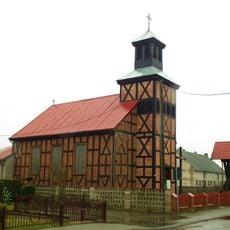
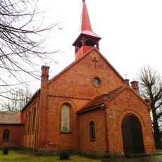
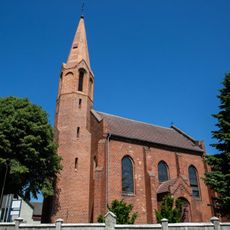
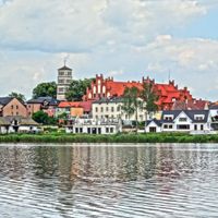
Złotów County is an administrative district in Greater Poland Voivodeship comprising four towns and several rural communes. The region features mixed terrain with agricultural land, forests, and numerous water bodies scattered across the landscape.
The territory was part of Poland until 1772, when it passed to Prussian control under the name Kreis Flatow. After World War II in 1945, the area returned to Poland and became the modern administrative county of Złotów.
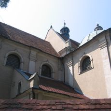
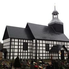
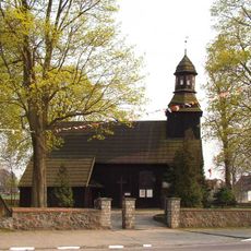
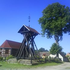
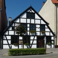
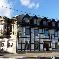
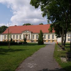
Local communities here maintain traditional ways of life rooted in agricultural heritage and small-town identity. Visitors walking through villages and towns notice how daily rhythms and social gatherings still reflect these deep-rooted customs.
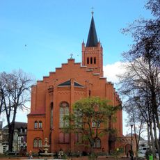
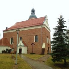
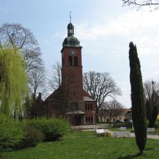
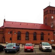
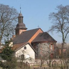
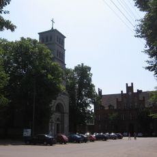
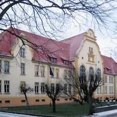
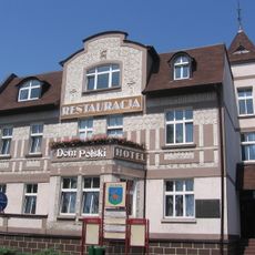
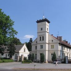
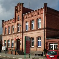
The town of Złotów in the center serves as the administrative hub where regional services are concentrated. Visitors can access shops, schools, and public facilities that support the daily needs of local residents.
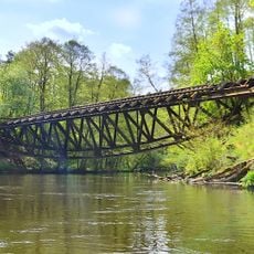
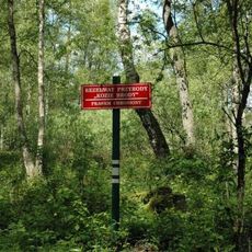
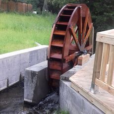
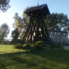
The territory is dotted with numerous lakes and expanses of forest that shape its natural character. These features offer visitors a chance to experience the landscape's natural elements firsthand.
The community of curious travelers
AroundUs brings together thousands of curated places, local tips, and hidden gems, enriched daily by 60,000 contributors worldwide.