Gmina Dolice, Rural administrative district in Stargard County, Poland
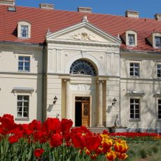
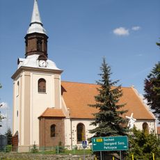
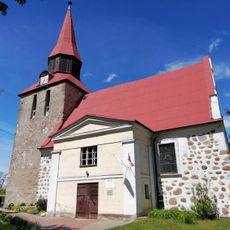
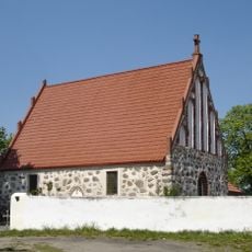
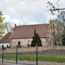
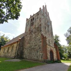
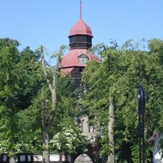
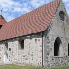
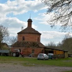
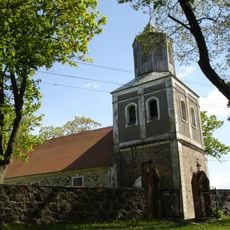
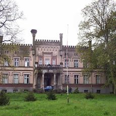
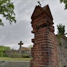
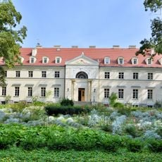
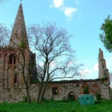
Gmina Dolice is a rural administrative district in northwestern Poland with several villages and Dolice as its administrative center. The area consists mainly of farmland, forests, and settlement areas spread across the whole territory.
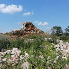
The area was reorganized after World War II when Poland's borders shifted westward. These changes shaped the current administrative structure of this region.
Local people keep rural traditions alive through community gatherings and seasonal events that mark the rhythm of village life. These occasions show how farming and social bonds are deeply connected in this region.
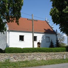
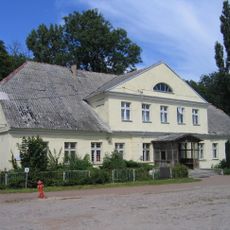
The district has schools, medical offices, and administrative buildings spread across different villages. Visitors should know that distances between settlements can be significant and services are organized as in a rural area.
The territory has a low population spread, making large parts dominated by fields and forests. This distribution creates a balance between cultivated land and open landscapes.
The community of curious travelers
AroundUs brings together thousands of curated places, local tips, and hidden gems, enriched daily by 60,000 contributors worldwide.