Enable Location

We need your location to show you interesting places around you

Discover nearby places

Find interesting locations and hidden gems around you

Precise directions

Get accurate directions and distances to places

Your location is never shared with other users. It's only used when you tap the location button.

Gmina Łazy

Log in to your account

Start exploring — it's free

Trusted by 63,420 travelers worldwide

Continue with Google
Continue with Apple
or

We will send you a code to connect

By continuing, you accept our Terms and Conditions and our Privacy Policy

Check your inbox

We've sent a pincode in your inbox. Please enter the code below.

Discussion Reviews 1 Photos
4.2k Popularity

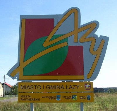
Gmina Łazy, Administrative district in Zawiercie County, Poland.

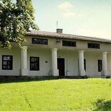
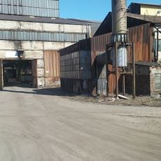
Gmina Łazy is an administrative unit in Zawiercie County in southern Poland covering 132.56 square kilometers. The territory includes urban settlements, extensive farmland, and dense forests distributed across multiple villages.

The municipality received its current administrative form following the Polish municipal reform of 1998 when it became part of Zawiercie County. This restructuring established the modern boundaries and governance framework of the area.

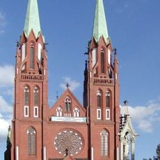
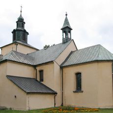
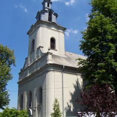
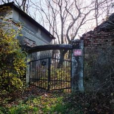
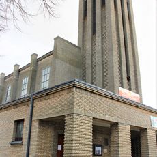
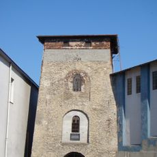
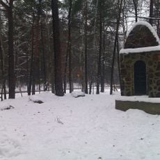
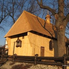
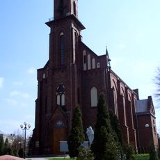
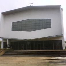
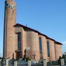
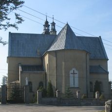
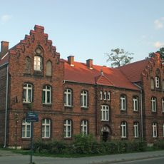
The administrative district contains several religious buildings like the Church of Saint Bartholomew in Ciągowice and the Church of Saint Francis in Niegowonice that serve local communities. These structures shape the character of their villages and remain central to the spiritual life of residents.

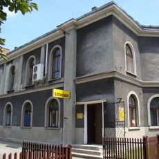
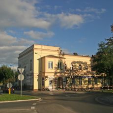
The administrative center is located in the town of Łazy, situated about 8 kilometers south of Zawiercie and about 35 kilometers northeast of Katowice. This central location provides good connections to the larger cities in the region.

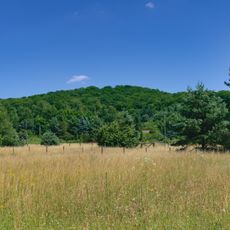
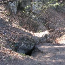
The area contains the Mitręga Reservoir and sections of Eagle Nests Landscape Park with distinctive limestone formations. These natural features create a landscape shaped by unusual geological conditions.

The community of curious travelers

AroundUs brings together thousands of curated places, local tips, and hidden gems, enriched daily by 60,000 contributors worldwide.

Start exploring
Location
Shares border with
Dąbrowa Górnicza, Gmina Klucze, Gmina Ogrodzieniec, Poremba, Gmina Siewierz, Zawiercie
Website
GPS coordinates
50.43333,19.40000
Latest update
December 11, 2025 11:04
Reviews
Share your experience

No review yet

Discussions
Start a discussion...

No discussion yet

« Gmina Łazy - Administrative district in Zawiercie County, Poland » is provided by Around Us (aroundus.com). Images and texts are derived from Wikimedia project under a Creative Commons license. You are allowed to copy, distribute, and modify copies of this page, under the conditions set by the license, as long as this note is clearly visible.

Discover hidden gems everywhere you go!

From secret cafés to breathtaking viewpoints, skip the crowded tourist spots and find places that match your style. Our app makes it easy with voice search, smart filtering, route optimization, and insider tips from travelers worldwide. Download now for the complete mobile experience.

Around Us App Screenshot

A unique approach to discovering new places

Le Figaro

All the places worth exploring

France Info

A tailor-made excursion in just a few clicks

20 Minutes

Around Us
Travel Guide & Maps
Download

Send to your phone

QR Code
1

Open the camera app on your mobile.

2

Point at the QR code with your camera. A notification will appear.

3

Tap the notification to open the link.