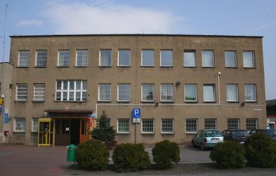
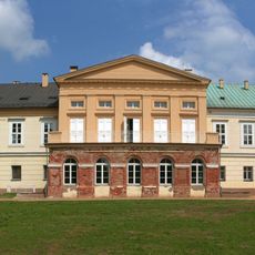
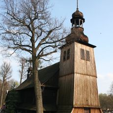
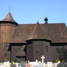
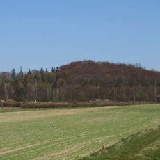
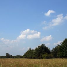
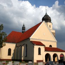
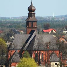
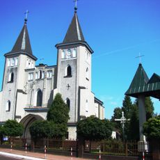
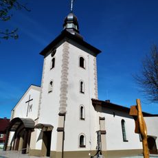
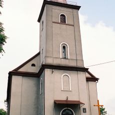
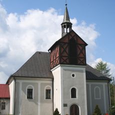
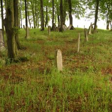
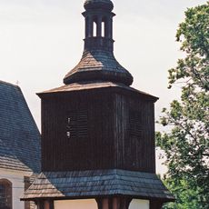
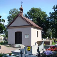
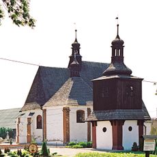
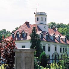
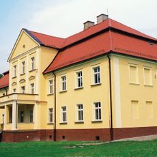
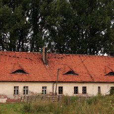
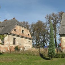
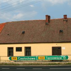
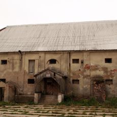
Gmina Boronów, rural gmina of Poland
Location: Lubliniec County
Elevation above the sea: 279 m
Shares border with: Gmina Herby, Gmina Koszęcin, Gmina Woźniki, Gmina Konopiska, Gmina Starcza
Website: http://boronow.pl
GPS coordinates: 50.68333,18.90000
Latest update: March 10, 2025 06:44
Palace in Koszęcin
6.9 km
Holy Trinity church in Koszęcin
8 km
Our Lady of the Rosary church in Boronów
1.4 km
Góra Grojec
10 km
Koszęcin radio transmitter
4.5 km
Saint James church in Lubsza
10.6 km
Church of the Sacred Heart of Jesus
6.6 km
Saint Valentine church in Konopiska
9.2 km
Kochanowice Palace
10.9 km
Nature reserve Góra Grojec
10 km
Church of St. Martin in Cieszowa
4.4 km
Saint Anthony of Padua church in Cisie
11 km
Saint John the Baptist church in Poczesna
9.1 km
Church of the Assumption of Mary in Olszyna
3.8 km
Saint Lawrence church in Kochanowice
10.7 km
Lutheran church in Piasek
11 km
Wierzbie
9 km
Jewish cemetery in Cieszowa
5.7 km
Dzwonnica w Sadowie
11.1 km
Nature reserve Rajchowa Góra
5.1 km
Cemetery in Konopiska
9.3 km
Church of St. Joseph in Sadów
11.1 km
Pałac, Zamkowa 2 w Wierzbiu
9.1 km
Pałac, Szkolna 1 w Kochanowicach
10.8 km
Folwark in Hadra
4.8 km
Folwark in Cieszowa
4.5 km
Organistówka
10.6 km
Spichlerz
4.8 kmReviews
Visited this place? Tap the stars to rate it and share your experience / photos with the community! Try now! You can cancel it anytime.
Discover hidden gems everywhere you go!
From secret cafés to breathtaking viewpoints, skip the crowded tourist spots and find places that match your style. Our app makes it easy with voice search, smart filtering, route optimization, and insider tips from travelers worldwide. Download now for the complete mobile experience.
A unique approach to discovering new places❞
— Le Figaro
All the places worth exploring❞
— France Info
A tailor-made excursion in just a few clicks❞
— 20 Minutes