Log in to your account

AroundUs is a community-driven map of interesting places, built by curious explorers like you. It grows with every review, story, and photo you share.
Connect to save your favorite spots, contribute locations, and create personalized routes.
Continue with Google
Continue with Apple
Continue with X
Continue with Facebook
Continue with email
By continuing, you accept our Terms and Conditions and our Privacy Policy
Create an account
Add to collection
Map
Suggest a change
Share

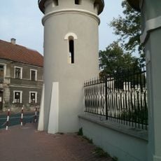
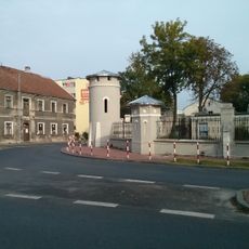
Gmina Stąporków, Administrative district in Końskie County, Poland.

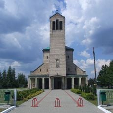
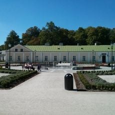
Gmina Stąporków is an administrative municipality combining urban and rural areas in south-central Poland within Świętokrzyskie Voivodeship. The territory includes several villages and a central administrative hub where government services, schools, and local infrastructure are concentrated.

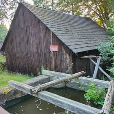
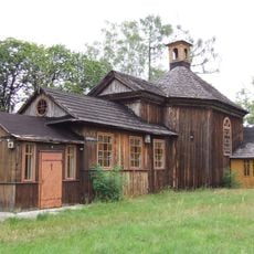
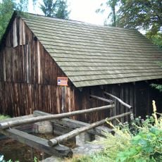
The region began developing in the mid-1500s when iron production started in this part of the Old-Polish Industrial Zone. This industrial foundation shaped the area's long-term economic and settlement patterns.

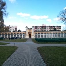
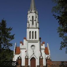
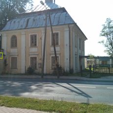
The administrative center reflects local life through schools, health services, and sports facilities that serve the community. These institutions shape how residents interact with public spaces and organize their daily activities.

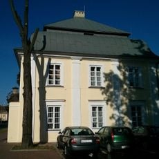
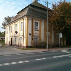
The municipal office is located on Marszałka Józefa Piłsudskiego Street and handles administrative services during regular weekday hours. Visitors handling official matters should arrive during morning hours when service lines tend to move more smoothly.

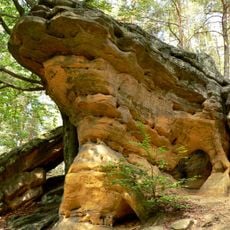
The municipality includes sections of the Suchedniów-Oblęgorek Landscape Park, which integrates protected natural areas directly within administrative boundaries. This mixture of nature conservation with urban functions is not typical of most administrative centers in the region.

Location: Końskie County

Capital city: Stomporków

Shares border with: Gmina Bliżyn, Gmina Chlewiska, Gmina Końskie, Gmina Mniów, Gmina Przysucha, Gmina Smyków, Gmina Zagnańsk

Website: http://staporkow.pl

GPS coordinates: 51.15000,20.55000

Latest update: December 11, 2025 18:07

Photos
Reviews

Visited this place? Tap the stars to rate it and share your experience / photos with the community! Try now! You can cancel it anytime.

« Gmina Stąporków - Administrative district in Końskie County, Poland » is provided by Around Us (aroundus.com). Images and texts are derived from Wikimedia project under a Creative Commons license. You are allowed to copy, distribute, and modify copies of this page, under the conditions set by the license, as long as this note is clearly visible.

Discover hidden gems everywhere you go!

From secret cafés to breathtaking viewpoints, skip the crowded tourist spots and find places that match your style. Our app makes it easy with voice search, smart filtering, route optimization, and insider tips from travelers worldwide. Download now for the complete mobile experience.

Around Us App Screenshot

A unique approach to discovering new places

Le Figaro

All the places worth exploring

France Info

A tailor-made excursion in just a few clicks

20 Minutes