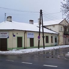
Zakroczym, Historical municipality in Masovian Voivodeship, Poland.
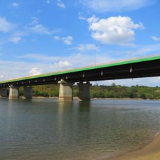
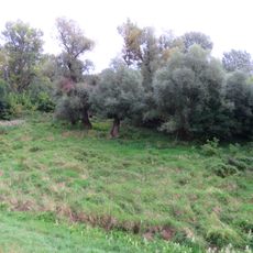
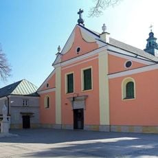
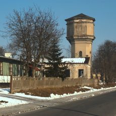
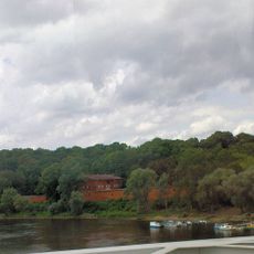
Zakroczym sits on elevated ground alongside the Vistula River, where glacial forces carved out natural ravines across the terrain. The town contains a Gothic-Renaissance church and 19th-century fortification structures within this landscape.
The town received its charter in 1422 and became an administrative center during the Polish-Lithuanian Commonwealth. This early status shaped its importance in regional affairs for centuries afterward.
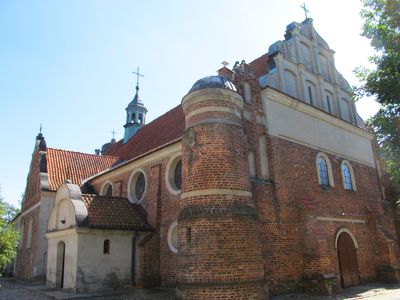
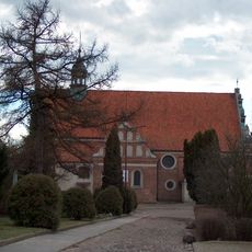
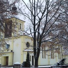
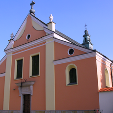
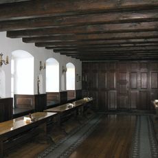
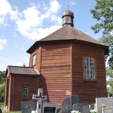
The Church of the Exaltation of the Holy Cross blends Gothic and Renaissance styles, reflecting how the community built and rebuilt its religious center across centuries. Local people walk past this structure regularly, making it a familiar landmark that marks the town's spiritual center.
The place is easily accessible via national road 62 and expressway S7, which connect it to larger cities. Modlin Airport lies to the east, making arrival convenient for visitors arriving by air.
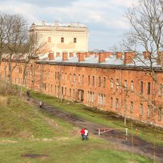
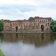
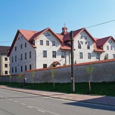
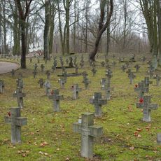
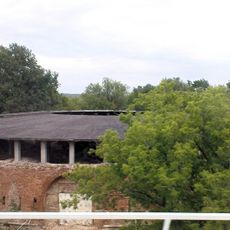
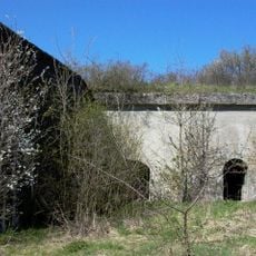
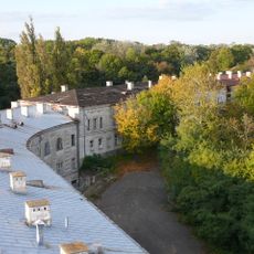
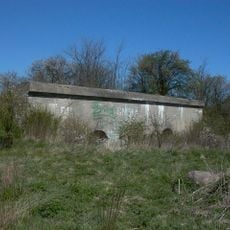
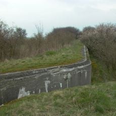
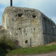
Fort Nr. 1 was built between 1883 and 1888 as part of the Modlin Fortress network designed to protect the region. The structure held prisoners from Warsaw during the 1944 uprising, marking a significant moment in its military past.
Location: Gmina Zakroczym
Elevation above the sea: 67 m
Part of: Związek Miast Nadwiślańskich
Website: http://zakroczym.pl
GPS coordinates: 52.43333,20.61667
Latest update: December 7, 2025 20:23
Modlin Fortress
4.5 km
Granary on the Narew river
4.3 km
Nowy Dwór Mazowiecki Bridge
5.2 km
Defenders of Modlin 1939 Bridge
2.7 km
Saint Lawrence church and capucine monastery in Zakroczym
299 m
Exaltation of the Holy Cross church in Zakroczym
583 m
Nature reserve Wikliny Wiślane
3.9 km
Cmentarz żydowski w Zakroczymiu
709 m
Muzeum Warszawskiej Prowincji Kapucynów w Zakroczymiu
354 m
Our Lady of the Scapular church in Kazuń-Bielany
5.2 km
Cmentarz garnizonowy twierdzy Modlin
3.2 km
Kościół Matki Boskiej Bolesnej, poł. XVI
6.5 km
Fort "Narew" - Rotunda shooting
5.4 km
Punkt oporu Nr 4 „Strubiny
5.8 km
Nature reserve Ruska Kępa
5.2 km
Modlin Fortress
4.4 km
Kościół św. Wawrzyńca
320 m
2 Kościuszki Street in Nowy Dwór Mazowiecki
6.6 km
Zespół klasztorny kapucynów w Zakroczymiu
341 m
Officers Mess in Modlin
4.3 km
Fort XI "Strubiny”
5.8 km
Kolejowa wieża ciśnień w Nowym Dworze Mazowieckim
5.9 km
Klasztor
331 m
Fortyfikacje przyczółka mostowego
4.2 km
5 Kościuszki Street in Nowy Dwór Mazowiecki
6.6 km
Twierdzy Modlin)
5.8 km
Twierdzy Modlin)
889 m
Kaplica cmentarna, drewn.
6.7 kmVisited this place? Tap the stars to rate it and share your experience / photos with the community! Try now! You can cancel it anytime.
Discover hidden gems everywhere you go!
From secret cafés to breathtaking viewpoints, skip the crowded tourist spots and find places that match your style. Our app makes it easy with voice search, smart filtering, route optimization, and insider tips from travelers worldwide. Download now for the complete mobile experience.
A unique approach to discovering new places❞
— Le Figaro
All the places worth exploring❞
— France Info
A tailor-made excursion in just a few clicks❞
— 20 Minutes