Gmina Klimontów

Log in to your account

AroundUs is a community-driven map of interesting places, built by curious explorers like you. It grows with every review, story, and photo you share.
Connect to save your favorite spots, contribute locations, and create personalized routes.
Continue with Google
Continue with Apple
Continue with X
Continue with Facebook
Continue with email
By continuing, you accept our Terms and Conditions and our Privacy Policy
Create an account
Add to collection
Map
Suggest a change
Share

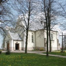
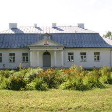
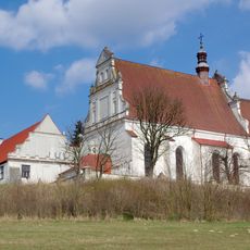
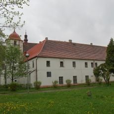
Gmina Klimontów, Administrative district in Sandomierz County, Poland.

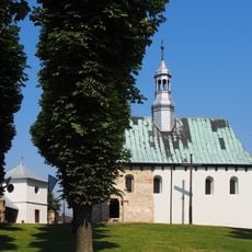
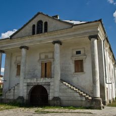
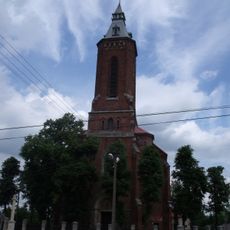
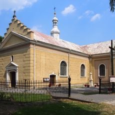
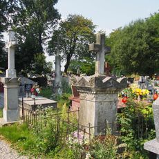
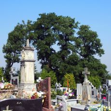
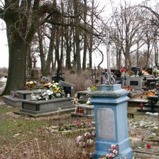
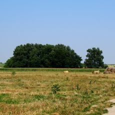
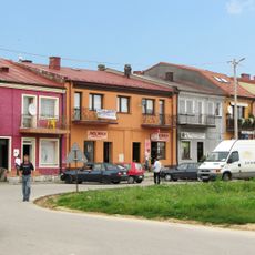
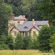
Gmina Klimontów is an administrative district in south-central Poland that spans rural settlements connected by agricultural land and farmland. The area includes multiple villages spread across open countryside with the town of Klimontów serving as the local center.

This district was created during Poland's administrative reforms of 1999, which reorganized local government structure in the region. These changes shaped how the territory is administered and organized today.

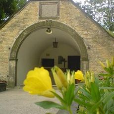
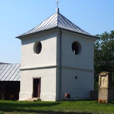
The district shows traditional ways of living across its villages, with agriculture shaping how people spend their days and connect to the land. Farming remains central to how communities here see themselves and organize their seasons.

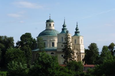
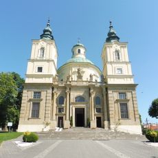
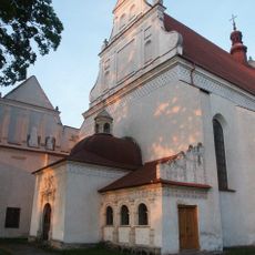
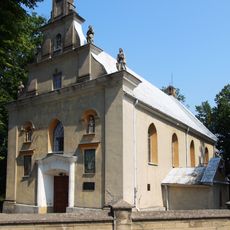
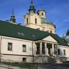
The town of Klimontów serves as the administrative center where visitors can find local services and facilities related to the district. This is the main point of reference for navigating and understanding the area.

This district sits at the meeting point of eight neighboring administrative areas, making it a natural hub in the local landscape. This central position gives it a special role in connecting the surrounding communities.

Location: Sandomierz County

Capital city: Klimontów

Shares border with: Gmina Bogoria, Gmina Iwaniska, Gmina Koprzywnica, Gmina Lipnik, Gmina Łoniów, Gmina Obrazów, Gmina Samborzec, Gmina Staszów

Website: http://klimontow.pl

GPS coordinates: 50.65639,21.45278

Latest update: December 11, 2025 18:04

Photos
Around this place
Ossolin Castle
Poland

Ossolin Castle

4.1 km
Sanctuary in Sulisławice
Poland

Sanctuary in Sulisławice

7.7 km
St. Joseph Church in Klimontów
Poland

St. Joseph Church in Klimontów

334 m
Old church of the Nativity of the Virgin Mary in Sulisławice
Poland

Old church of the Nativity of the Virgin Mary in Sulisławice

7.7 km
Synagogue in Klimontów
Poland

Synagogue in Klimontów

70 m
Kościół św. Wawrzyńca w Olbierzowicach
Poland

Kościół św. Wawrzyńca w Olbierzowicach

4.5 km
Saint Michael Archangel church in Wiązownica-Kolonia
Poland

Saint Michael Archangel church in Wiązownica-Kolonia

9.7 km
Cmentarz parafialny w Goźlicach
Poland

Cmentarz parafialny w Goźlicach

4.6 km
Dwór w Przepiórowie
Poland

Dwór w Przepiórowie

7 km
Kościół Najświętszej Maryi Panny i św. Jacka w Klimontowie
Poland

Kościół Najświętszej Maryi Panny i św. Jacka w Klimontowie

524 m
Parish cemetery in Szczeglice
Poland

Parish cemetery in Szczeglice

9.5 km
Parish cemetery in Sulisławice
Poland

Parish cemetery in Sulisławice

7.7 km
Saint Hyacinth church in Klimontów
Poland

Saint Hyacinth church in Klimontów

555 m
Parish cemetery in Wiązownica-Kolonia
Poland

Parish cemetery in Wiązownica-Kolonia

9.6 km
World War I cemetery in Kolonia Pęcławska
Poland

World War I cemetery in Kolonia Pęcławska

8.8 km
Saint George church in Szczeglice
Poland

Saint George church in Szczeglice

9.9 km
Pałac Dzięki w Wiązownicy-Kolonii
Poland

Pałac Dzięki w Wiązownicy-Kolonii

9.3 km
Brama na cmentarz przy kościele św. Józefa w Klimontowie
Poland

Brama na cmentarz przy kościele św. Józefa w Klimontowie

384 m
Church of the Assumption in Goźlice
Poland

Church of the Assumption in Goźlice

4.8 km
Zespół dworski w Przepiórowie
Poland

Zespół dworski w Przepiórowie

7 km
Zespół klasztorny dominikanów, S. Heleny Herman 2 w Klimontowie
Poland

Zespół klasztorny dominikanów, S. Heleny Herman 2 w Klimontowie

573 m
Klasztor, obecnie szkoła, lata 1620-1623
Poland

Klasztor, obecnie szkoła, lata 1620-1623

581 m
Market Square, Klimontów
Poland

Market Square, Klimontów

183 m
Underground Chapel in Ossolin
Poland

Underground Chapel in Ossolin

4.6 km
Bell tower of Nativity of Virgin Mary old church in Sulisławice
Poland

Bell tower of Nativity of Virgin Mary old church in Sulisławice

7.7 km
Ogrodzenie Sanktuarium w Sulisławicach
Poland

Ogrodzenie Sanktuarium w Sulisławicach

7.8 km
Dzięki palace complex in Wiązownica-Kolonia
Poland

Dzięki palace complex in Wiązownica-Kolonia

9.3 km
Plebania przy kościele św. Józefa w Klimontowie
Poland

Plebania przy kościele św. Józefa w Klimontowie

362 m
Show the full map
Reviews

Visited this place? Tap the stars to rate it and share your experience / photos with the community! Try now! You can cancel it anytime.

« Gmina Klimontów - Administrative district in Sandomierz County, Poland » is provided by Around Us (aroundus.com). Images and texts are derived from Wikimedia project under a Creative Commons license. You are allowed to copy, distribute, and modify copies of this page, under the conditions set by the license, as long as this note is clearly visible.

Discover hidden gems everywhere you go!

From secret cafés to breathtaking viewpoints, skip the crowded tourist spots and find places that match your style. Our app makes it easy with voice search, smart filtering, route optimization, and insider tips from travelers worldwide. Download now for the complete mobile experience.

Around Us App Screenshot

A unique approach to discovering new places

Le Figaro

All the places worth exploring

France Info

A tailor-made excursion in just a few clicks

20 Minutes