Sandomierz County, Administrative district in Świętokrzyskie Voivodeship, Poland.
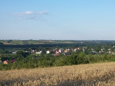
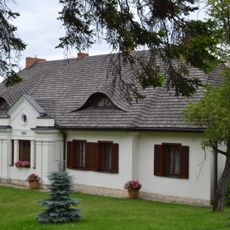
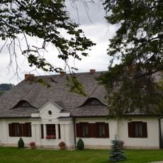
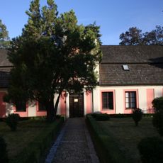
Sandomierz County is a non-metropolitan county in Świętokrzyskie Voivodeship, in south-central Poland, made up of nine municipalities that include several towns and a large number of villages. The terrain shifts between flat stretches and gently rolling land covered mostly by fields and forest patches.
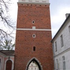
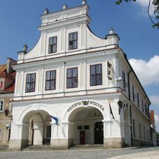
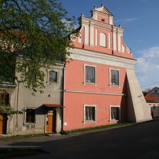
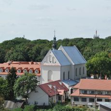
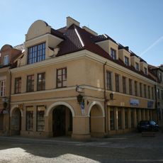
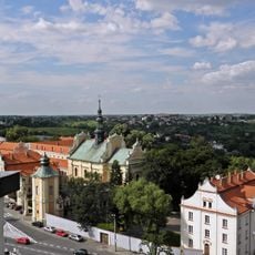
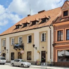
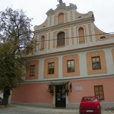
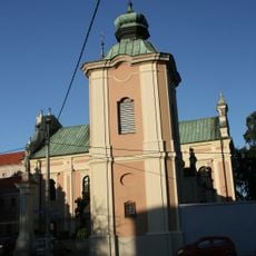
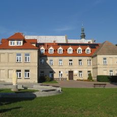
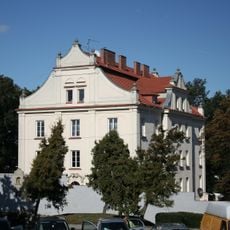
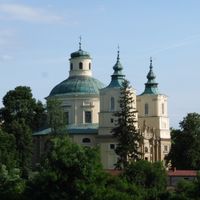
The town of Sandomierz was an important trading center in medieval Poland and gave its name to the surrounding administrative territory. After the partitions of Poland in the late 18th century, the area came under foreign rule and only returned to an independent Polish state in the 20th century.
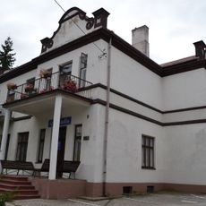
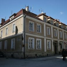
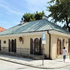
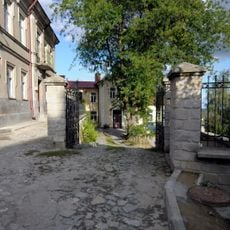
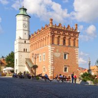
The county takes its name from the town of Sandomierz, which has long served as the cultural and economic heart of the surrounding area. Village markets and small roadside stalls selling local produce give a clear sense of how farming still shapes everyday life here.
The municipalities are connected by regional roads, and the town of Sandomierz works well as a base for getting around the area. A private vehicle is helpful for reaching the smaller villages, as public transport between rural settlements can be limited.
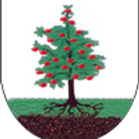
The area around Sandomierz is one of Poland's main apple-growing regions, and orchards are a common sight across the countryside in late summer and autumn. Local roadside stalls selling fresh apples and apple products appear throughout the county during harvest season.
The community of curious travelers
AroundUs brings together thousands of curated places, local tips, and hidden gems, enriched daily by 60,000 contributors worldwide.