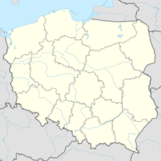
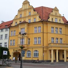
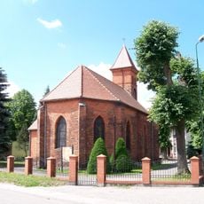
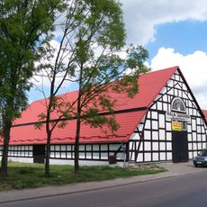
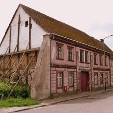
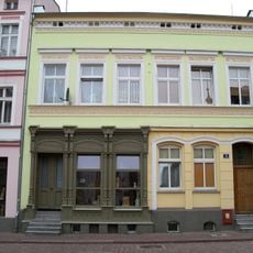
Białogard, Historic Hanseatic city in West Pomeranian Voivodeship, Poland
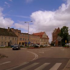
Białogard is a town situated at the junction of the Parsęta and Leśnica rivers in the Pomeranian lowlands. The waterways and rail routes that pass through shape its geography and connect it to surrounding communities.
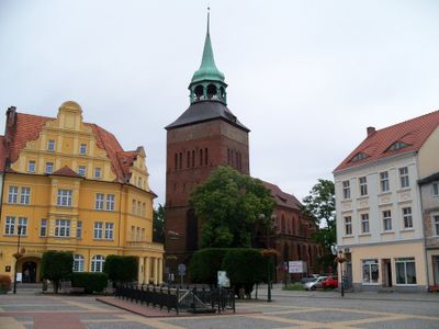
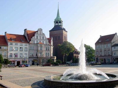
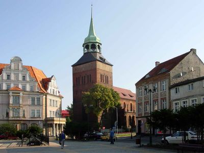
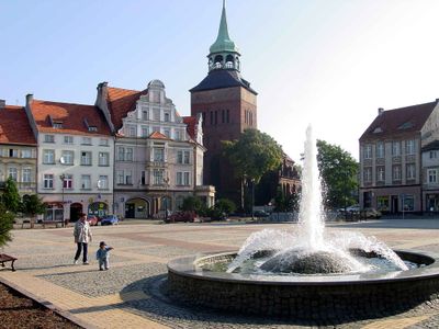
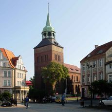
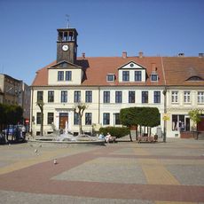
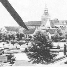
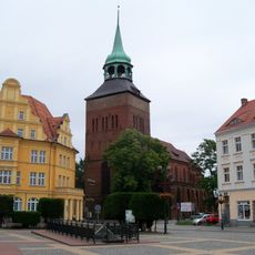
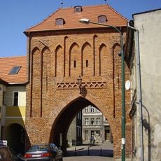
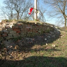
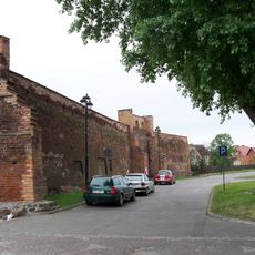
Settlement began in the 8th century with a fortified structure in the area. Over time, the place grew into an important trading hub and eventually became part of the Hanseatic League, boosting its commerce and influence.
The town's name comes from the white eagle, a symbol rooted in its past that appears in monuments and local imagery. Residents connect with this heritage through community gatherings and the way they maintain their public spaces.
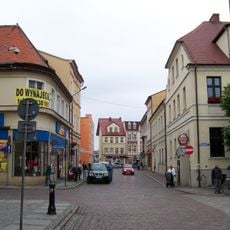
The town is accessible by rail and well-connected by road to nearby regions. Visitors can navigate through public transit options and local streets to reach the main areas and attractions.
A friendly competition with neighboring Świdwin has been maintained for years, celebrating shared regional heritage. This annual event shows how local communities preserve bonds through lighthearted rivalry.
Location: Białogard County
Elevation above the sea: 21 m
Website: http://bialogard.info
GPS coordinates: 54.00696,15.98751
Latest update: December 6, 2025 21:28
Church of St. Mary in Białogard
353 m
Zamek Biskupów Kamieńskich w Karlinie
7.8 km
Saint George church in Białogard
438 m
Market Square in Białogard
280 m
Jüdischer Friedhof
3.9 km
Synagoge
252 m
Niwka (wzniesienie)
4.7 km
Nowy ratusz, ob. bank PKO (dec. dom)
308 m
Kościół św. Jerzego, XV/XVI
354 m
Cmentarz ewangelicki
836 m
Christ the King church in Pomianowo
5.7 km
Kościół Narodzenia NMP
327 m
Kościół ewangelicki, ob. rzym.-kat. Matki Boskiej Królowej Polski, XV/XVI
5 km
Kościół pw. Nawiedzenia NMP w Żytelkowie
5.5 km
Stodoła w zespole folwarku w Karlinie
7.8 km
Połczyńska Gate in Białogard
428 m
Dom
7.7 km
Budynek przemysłowy, ob. magazyn
562 m
Śródmieście miasta (stare miasto)
271 m
Manor in Karlino
7.8 km
Śródmieście miasta, przed 1385
7.8 km
Folwark complex in Karlino
7.8 km
Dom z dwiema oficynami
379 m
Piwnice zamku
381 m
Spichlerz w Karlinie
7.8 km
Magazyn zbożowy
7.8 km
Zamek, ob. spichrz w Karlinie
7.8 km
Zespół murów obronnych (pozostałości)
321 mVisited this place? Tap the stars to rate it and share your experience / photos with the community! Try now! You can cancel it anytime.
Discover hidden gems everywhere you go!
From secret cafés to breathtaking viewpoints, skip the crowded tourist spots and find places that match your style. Our app makes it easy with voice search, smart filtering, route optimization, and insider tips from travelers worldwide. Download now for the complete mobile experience.
A unique approach to discovering new places❞
— Le Figaro
All the places worth exploring❞
— France Info
A tailor-made excursion in just a few clicks❞
— 20 Minutes