Gmina Chojnice, Administrative district in Chojnice County, northern Poland.
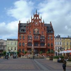
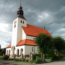
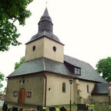
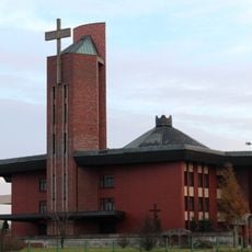
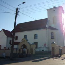
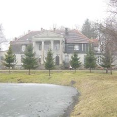
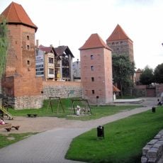
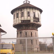
Gmina Chojnice is a rural administrative unit in the Pomeranian Voivodeship comprising multiple villages and settlements spread across agricultural and forested land. The town of Chojnice serves as the central hub for commerce and services, though it operates under separate governance from the surrounding municipal territory.
The territory gained its current administrative structure during Poland's 1998 local government reforms, which reshaped how communities were governed at the municipal level. This reorganization established the framework that continues to organize local governance across the district today.
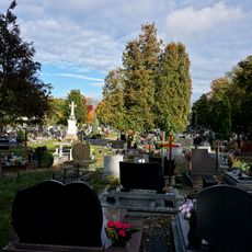
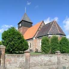
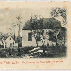
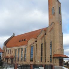
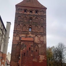
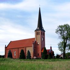
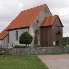
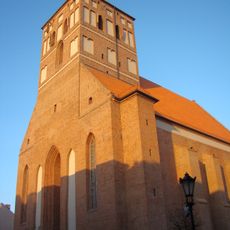
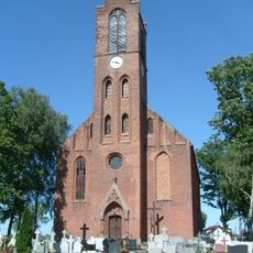
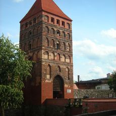
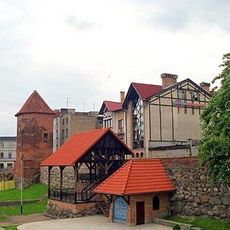
The villages within the territory maintain local traditions connected to the wider Pomeranian heritage, visible in how communities gather and celebrate seasonal events. These places remain centers of rural life where farming and family customs shape daily routines.
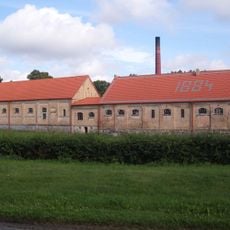
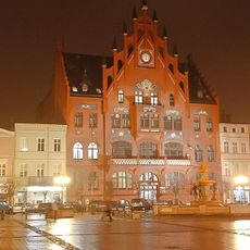
Exploring the villages is easiest by car or bicycle, as settlements are spread across the countryside rather than concentrated in one area. For food, lodging, and services, head to the town of Chojnice, which has the most reliable facilities and amenities.
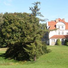
The area incorporates parts of two landscape parks, Tuchola and Zaborski, which together create opportunities for walks through forests and wetlands away from developed areas. This positioning between two protected natural zones makes it a setting where visitors can experience rural life alongside undisturbed woodland.
Location: Chojnice County
Capital city: Chojnice
Shares border with: Gmina Brusy, Gmina Czersk, Gmina Człuchów, Gmina Kamień Krajeński, Gmina Kęsowo, Gmina Konarzyny, Gmina Lipnica, Gmina Tuchola
Website: http://gminachojnice.com.pl
GPS coordinates: 53.70000,17.55000
Latest update: December 10, 2025 20:04
Municipal Stadium, Chojnice
914 m
Annunciation of St. Mary Church in Chojnice
1 km
Chojnice Town Hall
924 m
Parish cemetery in Chojnice
1.3 km
Saint James church in Ostrowite
10.8 km
Muzeum Historyczno-Etnograficzne w Chojnicach
802 m
Church of St. Mary Magdalene, Nowa Cerkiew
8.9 km
Exaltation of the Holy Cross church in Ogorzeliny
10.8 km
Our Lady Queen of Poland church in Chojnice
1.7 km
Former Augustine church in Chojnice
1.1 km
Synagoge in Chojnice
1 km
Kościół św. Jadwigi Królowej w Chojnicach
933 m
Muzeum Historyczno-Etnograficzne im. Juliana Rydzkowskiego w Chojnicach
848 m
Basilica of St. John the Baptist's Beheading in Chojnice
1 km
Immaculate Conception church in Krojanty
5.9 km
Saint Bartholomew church in Moszczenica
7.3 km
Dekanat Chojnice
1 km
Saint Hedwig church in Lichnowy
6.7 km
Manor house in Zbeniny
7.2 km
Pałac
11.6 km
Człuchowska Gate
796 m
City walls of Chojnice
910 m
Stajnia, ob. spichrz
11.6 km
Wieża ciśnień II, obok budynku, ul. Towarowa 4 w Chojnicach
2.1 km
Palace in Zamarte
11.6 km
Pozostałości murów obronnych
822 m
Dzielnica Starego Miasta
944 m
Manor in Krojanty
5.9 kmVisited this place? Tap the stars to rate it and share your experience / photos with the community! Try now! You can cancel it anytime.
Discover hidden gems everywhere you go!
From secret cafés to breathtaking viewpoints, skip the crowded tourist spots and find places that match your style. Our app makes it easy with voice search, smart filtering, route optimization, and insider tips from travelers worldwide. Download now for the complete mobile experience.
A unique approach to discovering new places❞
— Le Figaro
All the places worth exploring❞
— France Info
A tailor-made excursion in just a few clicks❞
— 20 Minutes