Roztocze National Park
Roztocze National Park, National park in Biłgoraj County, Poland
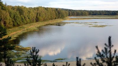
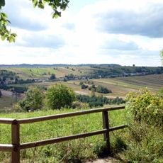
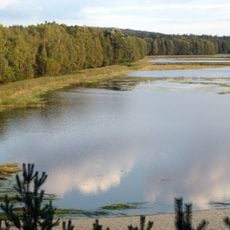
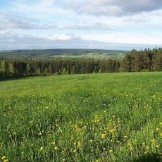
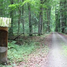
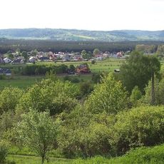
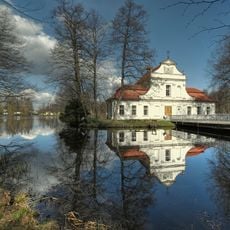
Roztocze National Park covers forested hills and valleys in the upper Wieprz River basin near the Ukrainian border, spanning more than 8,400 hectares of mostly forested land. Bukowa Mountain (about 1,280 feet or 390 meters) forms the highest point, while peat bogs, natural ponds, and several small streams shape the landscape.
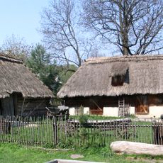
The Zamoyski family managed these forests as private estate land from the 16th century until the Polish state established the area as a national park in 1974. Earlier inhabitants used the land for limited forestry and hunting purposes before conservation goals took priority.
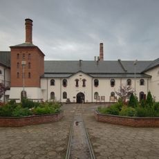
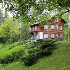
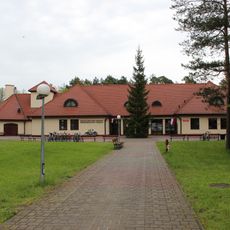
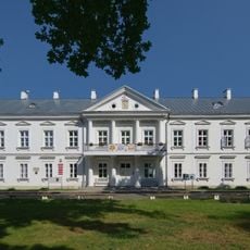
The park's educational center in Zwierzyniec presents exhibits about regional flora and fauna, featuring audio guides and detailed dioramas of local wildlife species.
The park center in Zwierzyniec offers maps and basic visitor information, while longer hikes require sturdy footwear and drinking water. Some zones remain closed to visitors to protect breeding areas, so checking accessible routes beforehand helps plan your visit.
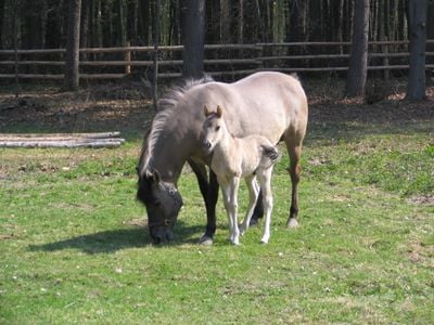
The breeding center in Florianka maintains a small herd of Polish primitive horses descended from the extinct tarpan. These animals resemble the wild horses that once roamed the central European plains before disappearing in the 19th century.
Location: Lublin Voivodeship
Inception: 1974
Website: http://roztoczanskipn.pl/pl
GPS coordinates: 50.61667,22.96667
Latest update: December 13, 2025 19:25
Browar w Zwierzyńcu
1.1 km
Bukowa Mountain
2.8 km
Stawy Echo
2.5 km
2 Plażowa Street in Zwierzyniec
1.2 km
Saint John of Nepomuk church in Zwierzyniec
867 m
Educational and Museum Center of the Roztocze National Park in Zwierzyniec
1.2 km
Piaseczna Góra
1.7 km
Nature reserve Jarugi
5.9 km
Our Lady Queen of Poland church in Zwierzyniec
91 m
Tartaczna Góra
2.2 km
Kościół św. Andrzeja Boboli w Kosobudach
8.7 km
Mural, Work of art
190 m
Saint Isidore the Laborer church in Topólcza
3.8 km
Cmentarz rzymskokatolicki w Zwierzyńcu
290 m
Urządzenia hydrotechniczne - jaz, most i ciek wodny
10.1 km
Jewish Cemetery in Zwierzyniec
882 m
Park
1 km
Część układu przestrzennego Zwierzyńca
850 m
Obora
8.5 kmKapliczka szafkowa przydrożna w Guciowie
8.5 km
Stodoła
8.5 km
Dom (chałupa)
8.5 km
Miejsce straceń z 1944 r. - plac wraz z dwoma jarzębinami w Zwierzyńcu
707 m
Management of Zamoyski Estate in Zwierzyniec
930 m
Gmach główny w zespole zarządu ordynacji zamojskiej w Zwierzyńcu
887 m
Guciów Skansen
8.5 km
Watermill in Bondyrz
10.1 km
Zespół młyna wodnego
10.1 kmVisited this place? Tap the stars to rate it and share your experience / photos with the community! Try now! You can cancel it anytime.
Discover hidden gems everywhere you go!
From secret cafés to breathtaking viewpoints, skip the crowded tourist spots and find places that match your style. Our app makes it easy with voice search, smart filtering, route optimization, and insider tips from travelers worldwide. Download now for the complete mobile experience.
A unique approach to discovering new places❞
— Le Figaro
All the places worth exploring❞
— France Info
A tailor-made excursion in just a few clicks❞
— 20 Minutes