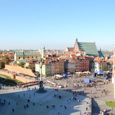
Warsaw W-Z Route, Major thoroughfare in central Warsaw, Poland
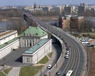
The Warsaw W-Z Route is a main road running roughly 6.7 kilometers east to west across the city, connecting the Praga district with the city center and Wola. The thoroughfare has separate lanes for vehicles and paths for pedestrians, with multiple bridge levels to manage traffic flow.
Construction of this transportation corridor began in 1947 as part of Warsaw's rebuilding after World War II, with the official opening in 1949. This new route was vital for reconnecting districts that had been heavily damaged during the war.
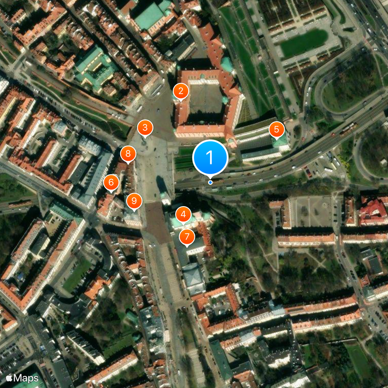
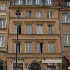
The route crosses several districts where buildings from different periods of Warsaw's development stand next to each other. Walking along it, you notice how reconstruction-era architecture sits alongside older and newer structures.
The route is accessible by car, foot, or bicycle and connects east and west sides quickly. Traffic is heavy during peak hours, so early mornings or evenings are better for a calmer journey.
The Śląsko-Dąbrowski Bridge, a section of this route, features multiple stacked levels that allow traffic to flow in several directions at once. From this bridge, you can see the Praga district below, making it a notable structure among Warsaw's roads.
The community of curious travelers
AroundUs brings together thousands of curated places, local tips, and hidden gems, enriched daily by 60,000 contributors worldwide.