Gmina Maciejowice, Administrative district in Garwolin County, Poland.
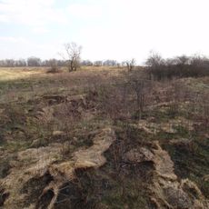
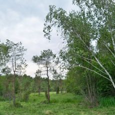
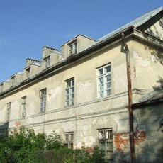
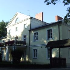
Gmina Maciejowice is a rural municipality in east-central Poland comprising several villages and agricultural communities. The territory spreads across farmland and residential areas connected by local roads and centers.
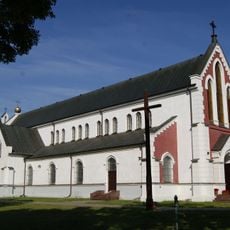
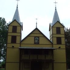
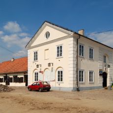
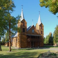
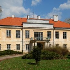
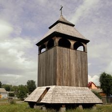
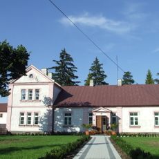
Maciejowice received a town charter from King Sigismund I in 1507, establishing its administrative role in the region. This grant shaped its development as a local center for the surrounding area.
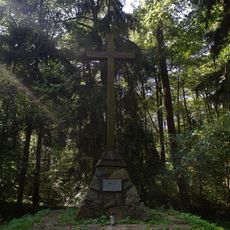
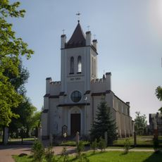
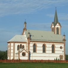
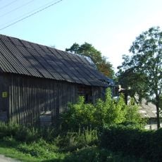
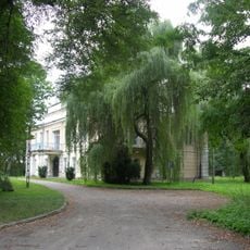
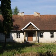
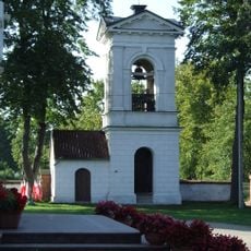
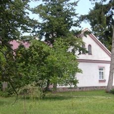
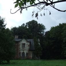
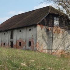
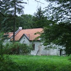
The gmina preserves the character of traditional Polish rural life across its component villages, each organized around local centers with farmland and residential areas. Visitors walking through the territory notice how communities maintain their connection to agricultural rhythms and local gathering spaces.
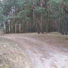
The gmina is best explored by car, as villages are scattered across the area and public transport is limited. Allow extra time for navigation and plan stops to experience the different communities at a comfortable pace.
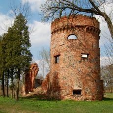
The territory borders seven neighboring gminas, creating a complex patchwork of administrative boundaries in the region. This central location makes it a natural junction point between different local authorities.
Location: Garwolin County
Shares border with: Gmina Kozienice, Gmina Łaskarzew, Gmina Magnuszew, Gmina Sobolew, Gmina Stężyca, Gmina Trojanów, Gmina Wilga
Website: http://maciejowice.pl
GPS coordinates: 51.69194,21.55444
Latest update: December 11, 2025 18:03
Church of the Assumption in Maciejowice
401 m
Nature reserve Kopiec Kościuszki
6.2 km
Cmentarz żydowski w Maciejowicach
354 m
Kościół Świętych Apostołów Piotra i Pawła w Sobolewie
8.3 km
Maciejowice Town hall
88 m
Jewish cemetery in Ryczywół
8 km
Kościół św. Katarzyny w Ryczywole
9.1 km
Saint Hedwig church in Samogoszcz
9 km
Dolina Dinozaurów
8.1 km
Kościół św. Katarzyny
9.1 km
Saints Peter and Paul church in Sobolew
8.2 km
Nature reserve Torfy Orońskie
3.9 km
Stable and tower ruins in Podzamcze
2.3 km
Zespół kościoła św. Katarzyny
9.1 km
Pałac
2.6 km
Młyn wodny
2.7 km
Palace in Podzamcze
2.5 km
Old rectory in Samogoszcz
9.1 km
Belfry at Church of the Assumption in Maciejowice
441 m
Wooden bell tower in Świerże Górne
6.2 km
Rectory in Maciejowice
388 m
Former hospital in Maciejowice
272 m
Palace outbuilding in Podzamcze
2.6 km
Zespół dworski
6.2 km
Granary in Oblin
2.5 km
Oficyna
6.2 km
Plebania, Kościelna 4 w Maciejowicach
393 m
Zespół plebanii
393 mVisited this place? Tap the stars to rate it and share your experience / photos with the community! Try now! You can cancel it anytime.
Discover hidden gems everywhere you go!
From secret cafés to breathtaking viewpoints, skip the crowded tourist spots and find places that match your style. Our app makes it easy with voice search, smart filtering, route optimization, and insider tips from travelers worldwide. Download now for the complete mobile experience.
A unique approach to discovering new places❞
— Le Figaro
All the places worth exploring❞
— France Info
A tailor-made excursion in just a few clicks❞
— 20 Minutes