Węgorzewo County, Administrative district in Warmian-Masurian Voivodeship, Poland.
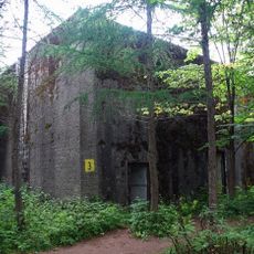
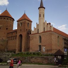
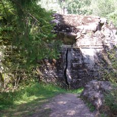
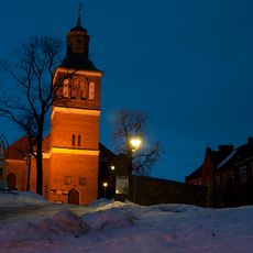
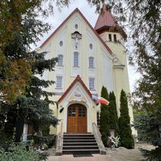
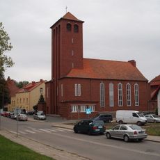
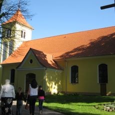
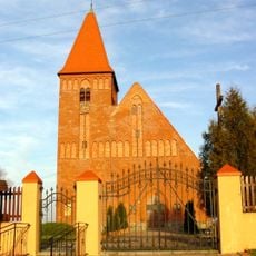
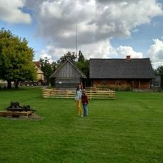
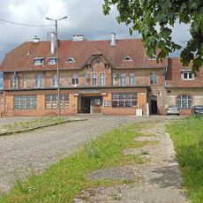
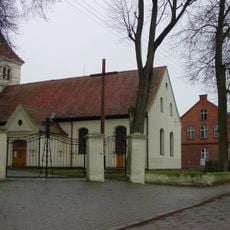
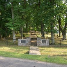
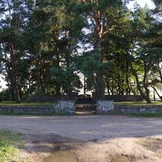
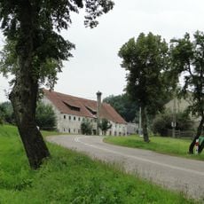
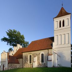
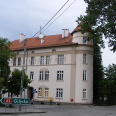
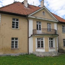
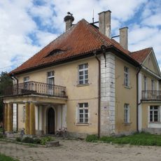
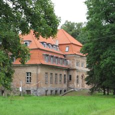
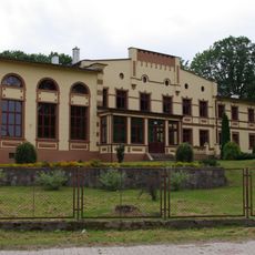
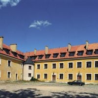
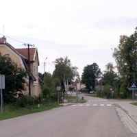
Węgorzewo County is an administrative district in the Warmian-Masurian Voivodeship in northeastern Poland. The territory includes the town of Węgorzewo and several rural municipalities, forming a region characterized by lakes, forests, and agricultural areas spread across its landscape.
This administrative district was established in 2002 as a result of territorial reorganization that separated it from the former Giżycko County. The reform created the current administrative structure that defines the county's modern boundaries.
The region incorporates three distinct gminas - Węgorzewo, Pozezdrze, and Budry - each maintaining their individual administrative practices and local traditions.
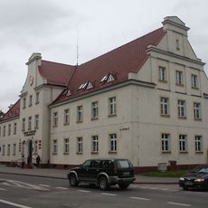
The town of Węgorzewo serves as the main point of access and the administrative center of the county. From there, visitors can reach the surrounding rural areas and natural features by car or local transportation.
The territory shares a border with Russia's Kaliningrad Oblast, making it part of an international frontier zone with distinct administrative characteristics. This proximity to the eastern border shapes local development and infrastructure planning.
Location: Warmian-Masurian Voivodeship
Capital city: Węgorzewo
Shares border with: Gołdap County, Giżycko County, Kętrzyn County
Website: http://powiatwegorzewski.pl
GPS coordinates: 54.21667,21.75000
Latest update: December 10, 2025 20:02
Kwatera Naczelnego Dowództwa Wojsk Lądowych
7.3 km
Mamerki Bunkers Museum
7.6 km
Feldkommandostelle Hochwald
10.1 km
Węgorzewo Castle
865 m
Church of SS. Peter and Paul in Węgorzewo
597 m
Kościół Dobrego Pasterza w Węgorzewie
920 m
Holy Cross church in Węgorzewo
513 m
Saints Peter and Paul Orthodox church in Węgorzewo
1 km
Holy Trinity church in Budry
9.4 km
Exaltation of the Holy Cross church in Olszewo Węgorzewskie
9.5 km
Museum of Folk Culture in Węgorzewo
1 km
Tradition Railway Museum
1.6 km
Kościół Trójcy Przenajświętszej w Budrach
9.4 km
World War I Cemetery in Stręgiel
5.6 km
Cmentarz wojenny z II wojny światowej w Węgorzewie
2.7 km
Ratusz w Węgorzewie
968 m
Park etnograficzny w Węgorzewie
1.1 km
Cmentarz wojenny z I wojny światowej, nad jeziorem Święcajny
2.9 km
Evangelical cemetery in Kal
4.1 km
Spichlerz
7.6 km
Kościół ewangelicki, ob. rzym.-kat. św. Józefa, wraz z cmentarzem przykościelnym
7.6 km
33 Pionierów Street in Węgorzewo
939 m
Pałac
9.7 km
Palace in Dąbrówka Mała
9.7 km
Okowizna palace
6.7 km
Zespół dworski
6.7 km
Palace in Więcki
7.4 km
Zespół kościoła ewangelickiego, ob. rzym.-kat. Św. Trójcy
9.4 kmVisited this place? Tap the stars to rate it and share your experience / photos with the community! Try now! You can cancel it anytime.
Discover hidden gems everywhere you go!
From secret cafés to breathtaking viewpoints, skip the crowded tourist spots and find places that match your style. Our app makes it easy with voice search, smart filtering, route optimization, and insider tips from travelers worldwide. Download now for the complete mobile experience.
A unique approach to discovering new places❞
— Le Figaro
All the places worth exploring❞
— France Info
A tailor-made excursion in just a few clicks❞
— 20 Minutes