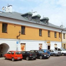
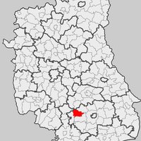
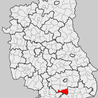
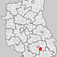
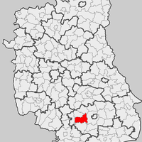
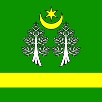
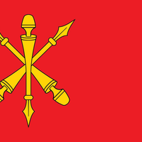
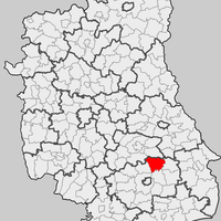
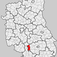
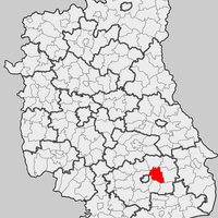
Zamość County, Administrative district in Lublin Voivodeship, Poland
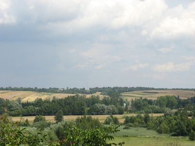
Zamość County spreads across eastern Poland with rolling hills, fertile plains, and dense forests throughout the region. The area comprises multiple municipalities linked by roads and railways that shape rural daily life and local economies.
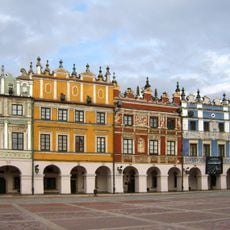
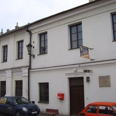
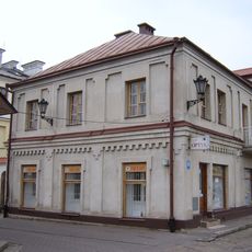
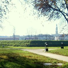
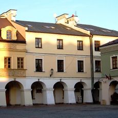
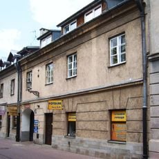
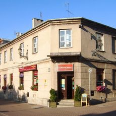
The area takes its name from Zamość, a Renaissance city founded at the end of the 16th century as a planned town. The county itself was created in 1999 through administrative reforms that reorganized historical territories in the region.
The municipalities here preserve traditional crafts and regional recipes passed down through generations. Visitors can discover local markets and workshops where these traditions remain actively practiced today.
Main towns and villages are easily reached by local bus lines and train connections throughout the county. Visitors should plan to travel by personal vehicle or public transport, as distances between municipalities can be substantial.
This administrative area surrounds its namesake city of Zamość, yet that city functions as an independent unit with separate administration. This geographic arrangement arose because the historic old town was designated to be governed separately.
Location: Lublin Voivodeship
Capital city: Zamość
Shares border with: Zamość, Biłgoraj County, Krasnystaw County, Chełm County, Hrubieszów County, Tomaszów Lubelski County
Website: http://starostwo.zamosc.pl
GPS coordinates: 50.72056,23.25861
Latest update: December 10, 2025 15:56
Old City of Zamość
0 m
Zamość Synagogue
424 m
Mikvah in Zamość
401 m
Jews in Zamość
434 m
Synagoga w Zamościu (ul. Daniłowskiego)
368 m
Roman catholic cemetery at Peowiaków st. in Zamość
237 m
New Lublin Gate in Zamość
355 m
12 Pereca Street in Zamość
425 m
8 Pereca Street in Zamość
410 m
4 Pereca Street in Zamość
399 m
Nadszaniec przy dawnym bastionie VI (1827-35 r.)
319 m
Dom (łącznik) (XVII/XVIII w.
432 m
Cemetery chapel in Zamość
237 m
Rawelin kurtyny V-VI (1809-13 r.
312 m
Kamienica (poł. XIX w.)
396 m
Luneta kurtyny VI-VII (1809-13 r.
259 m
10 Pereca Street in Zamość
418 m
Koszarka drogowa, tzw. Belwederek (1901 r.)
275 m
Kamienica (XVII-XVIII w.
432 m
Dom grabarza (2 poł. XIX w.)
237 m
Kamienica (1 poł. XVII w.
434 m
2 Pereca Street in Zamość
388 m
Kamienica (pocz. XX w.)
393 m
Kamienica (1 poł. XVII w.
440 m
6 Pereca Street in Zamość
404 m
Dom tylny (1829 r.)
417 m
Kamienica (1868 r.)
426 m
Zespół cmentarza rzymskokatolickiego
237 mVisited this place? Tap the stars to rate it and share your experience / photos with the community! Try now! You can cancel it anytime.
Discover hidden gems everywhere you go!
From secret cafés to breathtaking viewpoints, skip the crowded tourist spots and find places that match your style. Our app makes it easy with voice search, smart filtering, route optimization, and insider tips from travelers worldwide. Download now for the complete mobile experience.
A unique approach to discovering new places❞
— Le Figaro
All the places worth exploring❞
— France Info
A tailor-made excursion in just a few clicks❞
— 20 Minutes